Kinds Of Land Topography
The land offers diverse topography that is distributed the world over unevenly. These geographical features that grace the Earth's surface have ways in which they came to be formed. Geographers and geologists, the professionals who study land forms, explain that these geographical features were formed by processes such as vulcanicity (volcanic or igneous activity), faulting and folding processes. Examples of land topography include mountains, plateaus, plains and valleys.
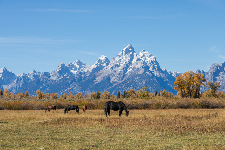
Mountains and Hills
Mountains and Hills
Mountains are the most distinct form of land topography mainly due to their altitude. These land masses protrude well off the surface of the earth to a considerable height of more than 1,000 feet above the base point. Hills on the other hand only cover a height of about 500 to 999 feet above the base. Mountains may occur singly, such as Mt. Everest in Asia due to the process of vulcanicity, or in form of ranges due to the process of folding, such as the Rockies in North America and Andes in South America. Basically, five types of mountains exist, each having a distinct mode of formation: block mountains, fold mountains, volcanic mountains, dome mountains and plateau mountains.
Valleys
Valleys
Sometimes instead of faulting resulting to block mountains, the middle block sinks leaving two blocks of land forms at the sides known as escarpments. These escarpments more often than not are mountains. The block that sank is known as a valley. Valleys also are formed from flowing water and thawing glaciers. The most well-known valley is the Great Rift Valley, which runs for about 6,400 kilometers from Jordan, Syria, to central Mozambique in Africa. There are several types of valleys according to their formation, such as rift valleys, glacial valleys, river valleys and hanging valleys.
Plains and Plateaus
Plains and Plateaus
Plains are land forms that are relatively flat or gently rolling, sometimes extensively for several miles. A plateau is simply an elevated plain. Plains are formed during volcanic eruptions, when lava flows for a considerable distance before it eventually solidifies. Other plains are formed from the processes of erosion and deposition. The plains are characterized by grass vegetation that has different names in different regions: savanna in Africa and South America, steppes in Russia and prairies in Canada. Examples of plains are the Great Plains in the United States and the Pedro plains in Jamaica.
Glaciers
Glaciers
Glaciers are masses of ice that glide slowly over the surface of the earth. Glaciers are the norm in polar regions, such as Greenland and Antarctica. Glaciers are simply formed by gradual compaction of snow and ice particles over a lengthy period of time, such as 100 years.
Cite This Article
MLA
James, Reuben. "Kinds Of Land Topography" sciencing.com, https://www.sciencing.com/kinds-land-topography-8158591/. 3 April 2011.
APA
James, Reuben. (2011, April 3). Kinds Of Land Topography. sciencing.com. Retrieved from https://www.sciencing.com/kinds-land-topography-8158591/
Chicago
James, Reuben. Kinds Of Land Topography last modified March 24, 2022. https://www.sciencing.com/kinds-land-topography-8158591/