Landforms Of The Wetlands
Landforms are physical configurations of the Earth's surface that result from natural processes such as volcanism, erosion, glaciation and climate. Landforms can be large geologic features, such as plains, plateaus and mountains, or smaller ones such as hills, flood plains and alluvial fans. Wetlands are areas of the Earth's surface where water collects and saturates the soil, creating a waterlogged condition. Water and organic material are characteristic of wetlands.
Palustrine Wetlands
Palustrine Wetlands
Palustrine wetlands are nontidal wetlands. They occur in areas that were originally part of river or stream systems but have been cut off from a constant fresh flow of water. Poorly drained, they become marshes, swamps, bogs, potholes and fens. They may occur on a river terrace behind a levee or result from the changing course of a meandering river in a valley with a low gradient; abandoned channels may become marshes, ephemeral wetlands or swamps. Palustrine wetlands also form in shallow, impervious, non-draining basins formed by the scouring and depositional action of glaciers. Fed by the seepage of groundwater, they may also form in bottomlands or depressions or along the lower slopes of hills where they merge with alluvial plains.
Marine Wetlands
Marine Wetlands
Marine wetlands form along the coast in landforms such as shallow offshore reefs or along the shore in dune hollows and damp sand plains. They may also form in dune slacks or swales — depressed areas between dune ridges that are replenished by rainfall or incursion by high tides — or at the margins of lagoons and along the banks of tidal rivers and their associated flood plains.
Estuarine Wetlands
Estuarine Wetlands
Estuarine wetlands occur at the widened mouths of rivers or streams, where saltwater and freshwater meet. Associated with estuaries are salt marshes — wetlands that support plants that tolerate wet, saline soils and that are regularly flooded — and mudflats, stretches of mud left uncovered at low tide. There may also be ephemeral wetlands in floodplains along the margins of estuarine wetlands that are subject to periodic submersion.
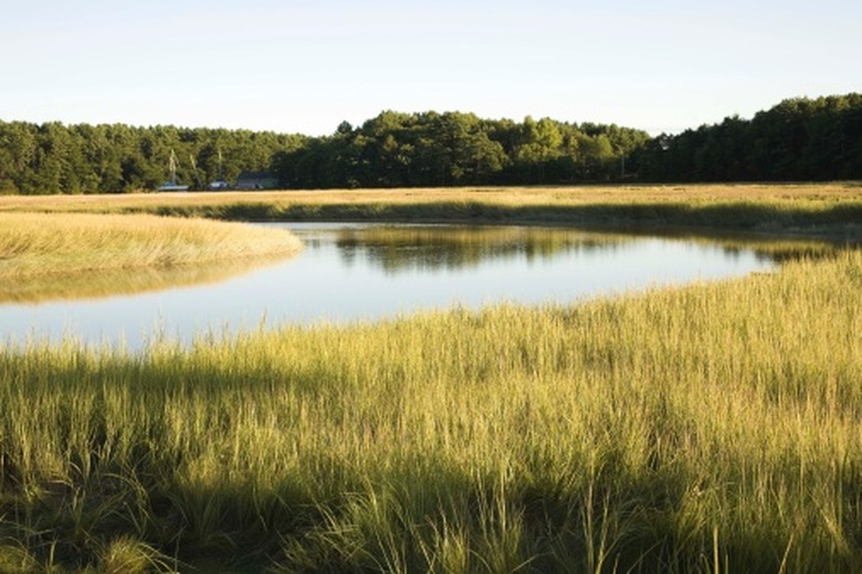
Lacustrine Wetlands
Lacustrine Wetlands
Lacustrine wetlands form in a topographic depression to become lakes, ponds, sloughs or bayous. Defined as being larger than 20 acres and having less than 30 percent persistent vegetation cover, wetlands of this type may fringe the periphery of a body of water or surround an island. They may be associated with a variety of larger landforms and elevations, from the high mountain tarn to the coastal slough.
Riverine Wetlands
Riverine Wetlands
Riverine wetlands are freshwater wetlands found along channels of water flowing from higher elevations to the sea. Rivers often cover hundreds of miles and pass through a wide variety of landforms, from mountains to foothills to valleys to coastal environments, as they make their ways downstream. Water flow, depth, turbidity and width of a river determine the size and extent of riverine wetlands. Shallows and sloughs, especially along slow-flowing rivers, may sustain a wetland environment far outside the river's banks.
Cite This Article
MLA
Cleary, Laurel. "Landforms Of The Wetlands" sciencing.com, https://www.sciencing.com/landforms-wetlands-8330205/. 24 April 2017.
APA
Cleary, Laurel. (2017, April 24). Landforms Of The Wetlands. sciencing.com. Retrieved from https://www.sciencing.com/landforms-wetlands-8330205/
Chicago
Cleary, Laurel. Landforms Of The Wetlands last modified August 30, 2022. https://www.sciencing.com/landforms-wetlands-8330205/