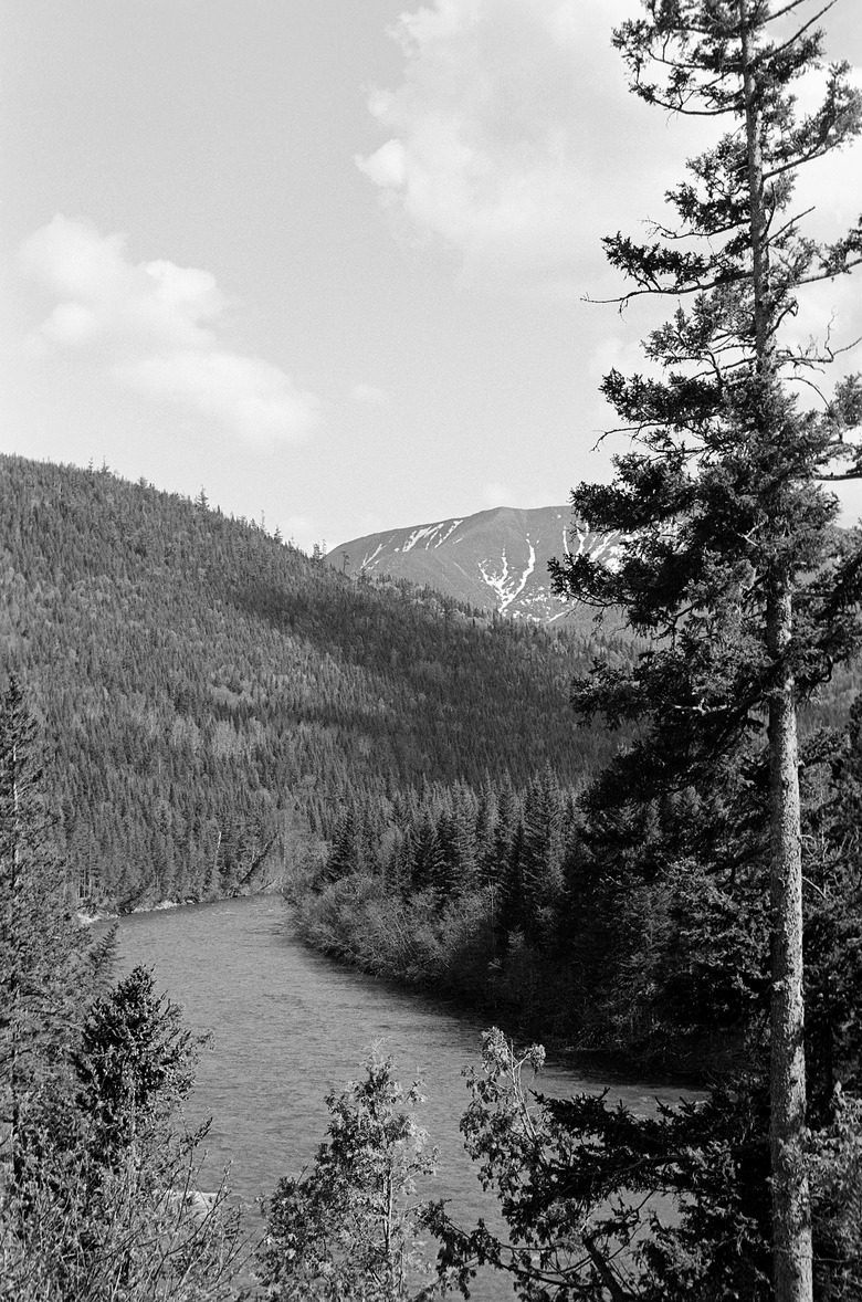
How To Measure Elevation
Measuring elevation requires a series of complicated measurements. Most scientists today measure the elevation of mountains by placing radios on the peaks of a mountain range, after which, satellites take measurements and determine the elevation. There is another method, however, that involves taking precise measurements of slopes and angles and plugging these into a formula to determine elevation.
Step 1
Pick an object that you want to measure. It can be a mountain or a telephone pole, but you need to choose a distinct point for your measurement. This is your point of interest.
Step 2
Determine how far you are from the bottom of the object. You can measure your distance from a light pole or a mountain, but you need an accurate measurement of how far your feet are from the base of the object. If you're measuring long distances, you probably want to use miles, but you can use feet or inches for smaller objects.
Step 3
Use a geometry compass to determine the angle from the ground to the top of the object, your point of interest. You can position the compass on the ground and point the needle towards the topmost point that you want to measure. Try to imagine an imaginary straight line from your compass to the top of the object. This will give you an angle that you will plug into an equation.
Step 4
Plug your numbers into the equation: tangent x = b/a. Your angle replaces "x" in the equation, and the "a" should be replaced by the first measurement you took, which measured the distance from where you're standing to the base of the object that you want to measure.
Step 5
Solve the equation for "b", by multiplying "a" by the tangent of your angle. This will give you a number in feet, miles or inches, depending on what unit of measurement you chose.
Step 6
Take the number that you found, and add it to your height above sea level. You can use a number of online tools, such as EarthTools.org, to look up the height of your location above sea level. For example, if you found the height of a light pole to be 25 meters and you know that you are 200 meters above sea level, then the elevation of the light pole is 225 meters.
Things Needed
- geometry compass
- pencil
- paper
TL;DR (Too Long; Didn't Read)
If using your geometry compass on the ground seems cumbersome, then you can always use it standing up. Just be sure to add your height to the elevation once you find it.
Cite This Article
MLA
McDaniel, John. "How To Measure Elevation" sciencing.com, https://www.sciencing.com/measure-elevation-8738801/. 24 April 2017.
APA
McDaniel, John. (2017, April 24). How To Measure Elevation. sciencing.com. Retrieved from https://www.sciencing.com/measure-elevation-8738801/
Chicago
McDaniel, John. How To Measure Elevation last modified March 24, 2022. https://www.sciencing.com/measure-elevation-8738801/