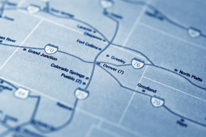
How To Find Townships And Sections On A Map
Townships and land sections are part of the rectangular survey system developed by Thomas Jefferson and approved by Congress in 1785. Under this system the land was divided into square areas for surveying and mapping. This system is still the basis for all surveys of public lands.
Step 1
Find the north and south guideline, called township, and the west and east guideline, called range. The largest square area is the township. Each township measures 6 miles square and is 23,040 acres.
Step 2
Identify the sections by looking for the numbers 1 to 36. Each township is divided into 36 sections. The sections are each 1 mile square and 640 acres.
Step 3
Each 640-acre section can further be divided into quarters of 160 acres each. And each quarter can be divided into four 40-acre areas.
Step 4
Under the rectangular survey system, a 40-acre lot of land can be described by its position within a section, township and range. For instance, NE 1/4 (northeast or top right corner) of the SE 1/4 (southeast or bottom right corner) of section 12, T2N (township) and R3W (range).
TL;DR (Too Long; Didn't Read)
Not all townships or sections are completely square. Monuments were commonly placed at the corners of sections and townships, according to Land Surveyor LLC. Road maps and atlas maps may not include the lines that distinguish the townships and sections.
Cite This Article
MLA
Contributor, . "How To Find Townships And Sections On A Map" sciencing.com, https://www.sciencing.com/townships-sections-map-5466298/. 24 April 2017.
APA
Contributor, . (2017, April 24). How To Find Townships And Sections On A Map. sciencing.com. Retrieved from https://www.sciencing.com/townships-sections-map-5466298/
Chicago
Contributor, . How To Find Townships And Sections On A Map last modified March 24, 2022. https://www.sciencing.com/townships-sections-map-5466298/
