What Type Of Clouds Make Tornadoes?
Whether viewed in movies or experienced in real life, tornadoes are scary! Understanding how tornadoes form is an important aspect of weather science. Plus, demystifying these intense storms can help put them in perspective.
TL;DR (Too Long; Didn't Read)
During a thunderstorm, varied winds cause the air to rotate. If updrafts in the storm and downdrafts behind the storm tip this rotation upright, a mesocyclone forms. The mesocyclone pulls warm, moist air into a cumulonimbus cloud base, producing a wall cloud. Sometimes the condensation within the wall cloud drops below the base as a rotating funnel. If this funnel cloud touches the ground, it is a tornado.
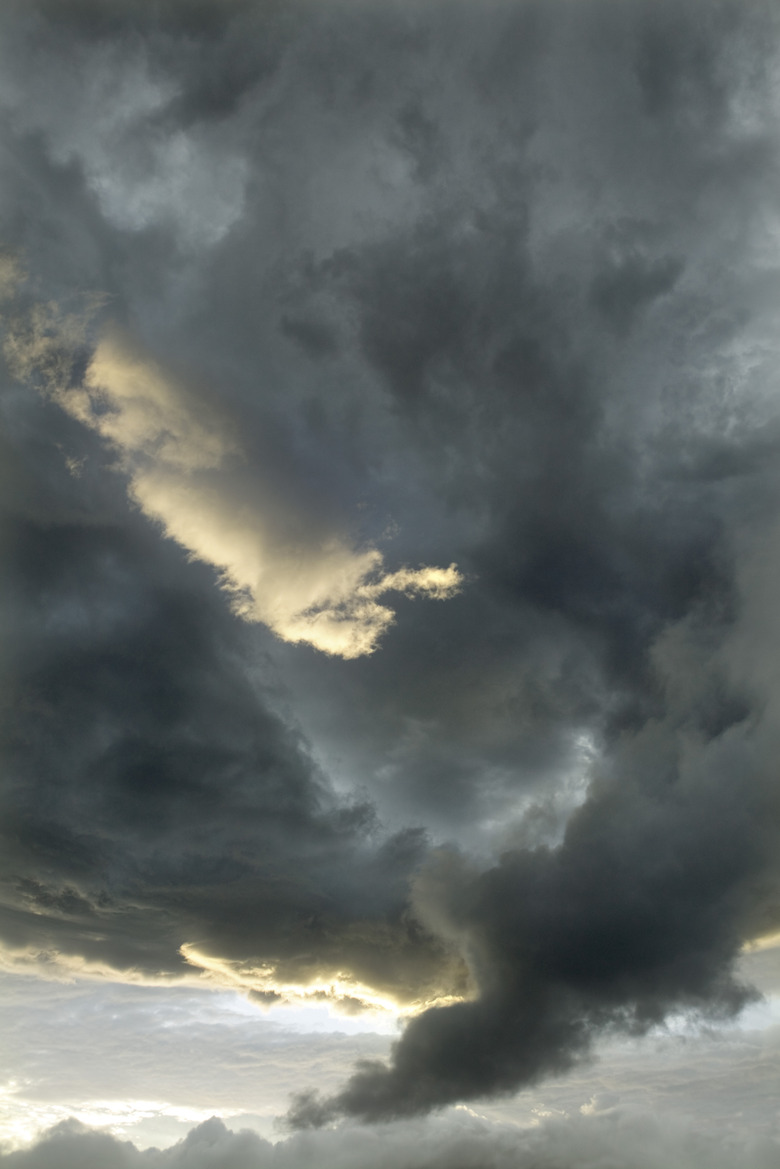
What is a Wall Cloud?
What is a Wall Cloud?
One of the strongest indicators of the possibility of tornado is the formation of a wall cloud. During a thunderstorm, this large, localized wall cloud sometimes forms beneath a cumulonimbus cloud, usually in the rain-free base area of the thunderstorm. Since the term "cumulonimbus" derives from Latin words meaning "heaped" and "rainstorm," storm chasers and regular observers recognize these clouds because they appear as a dense, vertical cloud "heaped" up during a storm. Colloquially, cumulonimbus clouds are also thunderheads.
Wall cloud formation occurs when winds of varied strengths and directions within a storm cause the air to rotate. Eventually, strong updrafts in the storm and powerful downdrafts behind the storm come together and push the rotating winds upright, causing a mesocyclone. This mesocyclone pulls in warm, moist air, which produces the wall cloud. While a wall cloud does not always rotate, it often does.
From Wall Cloud to Tornado
From Wall Cloud to Tornado
Sometimes the condensation within a wall cloud drops below the base of the cloud as a rotating funnel. This is a funnel cloud. Most funnel clouds only last for seconds before dissipating, but they can last much longer. The moment that a funnel cloud touches the ground, it becomes a tornado.
One exception to this description of tornado formation is a landspout. A landspout tornado is a short-lived tornado that follows a different formation pattern. In this case, the tornado clouds may appear very different. Instead of a mesocyclone producing a wall cloud, landspout tornadoes form when a surface boundary, like a cold front or lake breeze front, meet surface winds during a storm and produce small rotations. As the landspout gains strength and speed, it begins to pull debris into the air, which is the first sign that this tornado exists. Unlike other tornadoes which offer warning signs, the absence of the mesocyclone and wall cloud means that observers are more likely to be caught by surprise by a landspout tornado.
Tornadoes are strong, often destructive storms. While the sheer power of a tornado inspires worry, the science behind tornado formation is a fascinating and important part of weather science.
Cite This Article
MLA
Mayer, Melissa. "What Type Of Clouds Make Tornadoes?" sciencing.com, https://www.sciencing.com/type-clouds-make-tornadoes-5159/. 20 July 2018.
APA
Mayer, Melissa. (2018, July 20). What Type Of Clouds Make Tornadoes?. sciencing.com. Retrieved from https://www.sciencing.com/type-clouds-make-tornadoes-5159/
Chicago
Mayer, Melissa. What Type Of Clouds Make Tornadoes? last modified March 24, 2022. https://www.sciencing.com/type-clouds-make-tornadoes-5159/