Watershed Science Project Ideas
A watershed is a defined area on the landscape. Within the watershed area, rain that falls, snow that melts or any other form of water that enters into the area from above eventually makes its way to a central stream or river outlet. A shower stall with a running shower head is a good analogy. The water might strike the sidewalls of the stall or the tub, but it eventually runs to and flows out through the drain. On the real landscape, in place of the stall and the side walls of the tub are hills or mountains.
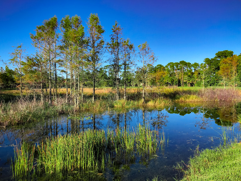
Watershed Delineation
Watershed Delineation
A common activity in studying watersheds is delineation on a topographic map. A topographic map is a map that shows contour lines indicating elevation, and delineating a watershed means making a line on the map that scribes the watershed's boundaries. Delineation begins at the point on the map that indicates a stream flowing out from a pond or lake. Scribing a line that runs perpendicular to the contour lines, and eventually ending up back at the starting point, effectively delineates the watershed of that pond or lake. Obtaining a topographic map of a local area and delineating a small watershed is one possible watershed science project idea.
Drainage Area
Drainage Area
After you delineate a watershed, another common parameter in watershed studies is drainage area. The drainage area is the total land area that falls within the scribed watershed boundary. Continuing the shower stall analogy, measuring the square footage of the tub or the base of the shower stall would determine the drainage area. Typical units that environmental scientists use to represent this area are acres or square miles, depending upon the watershed's size; hectares and kilometers are alternative metric units. Semi-transparent grid overlays allow manual drainage area calculations on paper maps. Using such a grid overlay and determining the watershed drainage area is another prospective project idea. With the advent of computerized geographic information systems, or GIS, this process has been automated.
Land Use
Land Use
Environmental scientists frequently view watersheds based on land use. In other words, they look at the various parcels of land within a watershed in terms of what human uses prevail there. Examples are things like buildings, parking lots, roads and city parks in urban areas. Rural areas often feature farmland and woodlands. In the broadest sense, even natural areas qualify as a land use, since it is often a choice on the part of humans to either develop or not develop the land. Many states in the U.S. have environmental agencies offering websites that include geographic information system (GIS) maps showing land use. Accessing these and illustrating the land use patterns in a given locale is another potential watershed science project idea.
Watershed Pollution
Watershed Pollution
Watershed science concerns itself, to a considerable degree, with pollution. Few if any of the human activities associated with various land uses are pollution free. Many, in fact, result in significant pollution. Animal waste and pesticides from agricultural land in rural areas, and various fluid leakages from motor vehicles in urban and even in rural areas, are examples. Rainfall and snowmelt wash these materials from all sectors of a watershed into waterways. Checking with state and federal agencies on their inventories of the least and most polluted watersheds can form a key part of a watershed science project.
Cite This Article
MLA
Miller, Donald. "Watershed Science Project Ideas" sciencing.com, https://www.sciencing.com/watershed-science-project-ideas-7984790/. 22 November 2019.
APA
Miller, Donald. (2019, November 22). Watershed Science Project Ideas. sciencing.com. Retrieved from https://www.sciencing.com/watershed-science-project-ideas-7984790/
Chicago
Miller, Donald. Watershed Science Project Ideas last modified August 30, 2022. https://www.sciencing.com/watershed-science-project-ideas-7984790/