Weather Conditions After A Cold Front
Cold front weather is an area of transition between an approaching mass of cold air and a mass of warmer air. Weather maps generally show warm and cold fronts, with a cold front appearing as a blue line, or as a blue line with blue triangles. The approaching cold front typically moves from northwest to southeast in North America, and the air behind the front is usually colder and more dry than the air ahead of the front.
Barometric Pressure
Barometric Pressure
The barometer begins falling as the lower air pressure associated with a cold front approaches. A falling barometer is often seen as an indication of deteriorating weather conditions. Pressure continues to fall steadily until the cold front arrives. Once it does, the air pressure bottoms out at its lowest point relative to the particular front's intensity, then shows a steep rise. After the cold front passes through, the barometer begins a steady increase.
Temperature Changes
Temperature Changes
Cold front temperatures can fall rapidly as the front approaches, sometimes more than 8 degrees Celsius (15 degrees Fahrenheit). As cold air sinks, it displaces warmer air near the surface and sends it aloft, which accounts for the rapid deterioration in temperature readings. After the cold front passes, air temperature continues to fall, though not as rapidly before it finally stabilizes.
Wind Speed and Direction
Wind Speed and Direction
The displacement of air masses also signals a change in wind direction and speed. Warmer air blowing in from the south gives way to gusty winds that shift directions as the cold front passes. Winds typically blow from a northwestly direction, or western direction on the other side of a cold front.
Cloud Formations
Cloud Formations
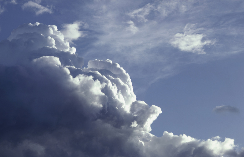
Warm, moisture-carrying air, rapidly lifted by the cold air behind the front, results in an unstable atmosphere around the transition area. Cumulonimbus clouds rise high into the atmosphere as the cold front arrives. Capable of reaching heights between 9,100 and 13,700 meters (30,000 and 45,000 feet), the tops of cumulonimbus clouds reach the level of the jet stream. Once there, strong winds shear off the tops of the clouds, producing an anvil shape. Once the cold front moves past, fluffy cumulus clouds develop before skies eventually begin clearing.
Changing Precipitation
Changing Precipitation
Most of the active weather occurs as the cold front pushes through. The cold front shoves the warmer air ahead of it upward, and as it cools the air discharges its moisture. The upheaval of warm air and the development of cumulonimbus clouds signals thunderstorms with heavy rains, and some strong cells capable of producing heavy downpours. Hail and tornadoes are also possible along the cold front. Once the front passes, the weather begins to settle. Lingering showers continue after the front moves on before a gradual clearing returns.
Cite This Article
MLA
Korpella, Robert. "Weather Conditions After A Cold Front" sciencing.com, https://www.sciencing.com/weather-conditions-after-cold-front-23363/. 25 July 2018.
APA
Korpella, Robert. (2018, July 25). Weather Conditions After A Cold Front. sciencing.com. Retrieved from https://www.sciencing.com/weather-conditions-after-cold-front-23363/
Chicago
Korpella, Robert. Weather Conditions After A Cold Front last modified March 24, 2022. https://www.sciencing.com/weather-conditions-after-cold-front-23363/