Why Illinois, Indiana, And Other Midwest States Are So Flat
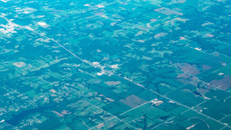
Ope, it's time to talk about the Midwest! America's Heartland is famous for its agriculture, state fairs, and "Midwestern nice" attitude, but it's also known for something much less exciting: its flatness. A 2014 study published in Geographical Review found that half of the top ten flattest states in the U.S. are in the Midwest region, with Illinois, South Dakota, and Minnesota taking second, third, and fifth place respectively. This remarkably even landscape was shaped over 2 million years ago in the early stages of the Quaternary period (which had some impressive wildlife), and it's all thanks to massive glaciers.
The Quaternary period (which we are currently in) has seen multiple ice ages, during which glaciers have covered large parts of Earth's land. Between 85,000 and 10,000 years ago, a massive glacier called the Laurentide Ice Sheet extended from the Northwest Passage all the way down to the Great Plains, covering large swaths of land now included in the Midwest. As the ice sheet advanced, it ground down the rocky surface below, flattening the landscape.
Flattening the earth is just one of the ways that glaciers change the landscape. These same glacial forces also carved out the Great Lakes and changed the courses of the Mississippi, Missouri, and Ohio Rivers, all of which went on to become vital waterways for American commerce. In fact, without the glacial action that the Midwest experienced, the modern American economy would not exist.
Glaciers made the Midwest an agricultural epicenter
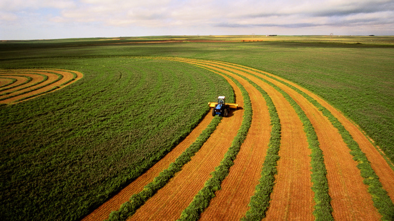
Glaciers didn't just flatten the Midwest, they are also responsible for turning it into the breadbasket of the nation. As the Laurentide Ice Sheet advanced, it pulverized the ground beneath it, and fragments of rock, sand, and clay became trapped within the ice. When the ice sheet receded, it deposited all of that material in a layer of sediment that averages 100 feet deep. This soil is rich in minerals, and it doesn't contain any rocks because the glacier ground them all into silt. This makes it ideal for growing crops.
Today, the Midwest is internationally renowned as an agricultural hub. The flat landscape has been turned into over 120 million acres of farmland that brings in tens of billions of dollars every year. Around three-quarters of this farmland is used to grow corn and soybeans, which account for almost half of the country's total crop profits. If it weren't for the flat, fertile soil created by the Laurentide Ice Sheet as it advanced and retreated, the United States would be a good deal less profitable, and a great deal more hungry.
The weird place where the Midwest isn't flat
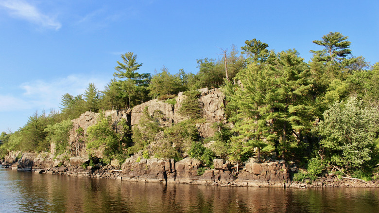
There is a spot, right in the heart of the Midwest, that literally stands out against its flat surroundings. At the intersection of Wisconsin, Illinois, Iowa, and Minnesota, there is a region known as the Driftless Area, which was never flattened down by glaciers. This happened because the Northern Highland region of Wisconsin, which used to be a high mountain range, impeded the path of the ice sheet, pushing it into the valleys that became the Great Lakes. This left a large patch of land untouched by glacial action, and today, the Driftless Area serves to show us what the Midwest looked like before the ice age began.
The Driftless Area looks completely different from the rest of the Midwest, with steep valleys and limestone cliffs. Its highest point, at Blue Mound State Park, is 1,719 feet in elevation. The region is also notable for its karst topography. Karst landscapes feature underground waterways, creating caves, sinkholes, and natural springs, which are important types of water resources. Several plant and animal species that existed during the glacial period can still be found in the Driftless Area, and because its rough topography makes human development challenging, it's also where you'll find some of the healthiest forest land in the entire Midwest.


