Characteristics Of Landforms
Landforms are the physical features of the earth. They are described with particular attention to the contours of the land — slope, elevation and morphology — as well as the context in which the landform resides. For instance, landforms may be categorized based on how they are formed (such as by erosion) or what surrounds them (such as surrounded by water or mountains). Landforms are distinct from the biota (plant and animal life) that inhabit the ecosystems contained within the landform.
Scale
Scale
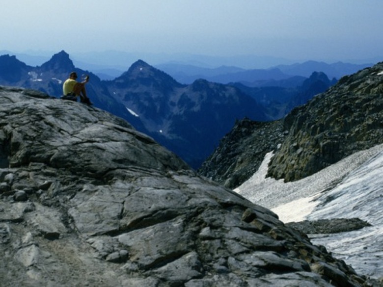
The first characteristic of a landform to consider is its overall size. Landforms are classified by nested hierarchies from whole continents to runnels on a mountainside. The runnel may be part of a crevasse on the ridge of a mountain that is part of a mountain range located on a continent. All of these things (runnel, crevasse, ridge, mountain, range and continent) are landforms.
Depending on the level of analysis and resolution, certain landforms are more or less important. For instance, if you're describing the continent of North America, the hill of Corona Heights in San Francisco probably won't be high on your list of things to describe. Similarly, when describing the features of the Corona Heights hillside, its location on the North american continent is irrelevant.
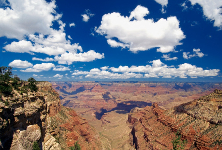
Mode of Formation
Mode of Formation
A crucial means for understanding a landform is the means through which it was produced. This characteristic is sometimes reflected in the names the different landforms have. For instance, lava domes may be shaped like hills, but the two landforms have very different origins. The major forces that produce landforms are erosion, plate tectonics and volcanic activity. Different physical forces can create similar landforms, such as the case of rift valleys (created by the separation of tectonic plates) and river valleys (created by erosion). Understanding what created a landform is crucial to explaining many of the smaller features within the landform (such as the large freshwater lakes within a rift valley) and describing the landform's history.
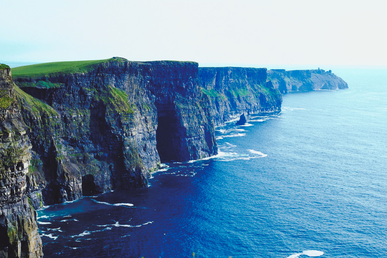
Terrain
Terrain
The overall shape of a landform is referred to as its geomorphology. The most evident characteristic of geomorphology is the terrain — the "relief" or vertical element of the landform. Measurements of slope and elevation contribute to a terrain. An upward slope relative to the surrounding terrain makes a mountain rise up from the ground. Similarly, a sharp negative slope give a canyon steep walls and an elevation lower than the surrounding areas. Terrain creates the overall shape of a landform — the raised bump of a shield volcano versus the long mountain ridges formed by tectonic collision.
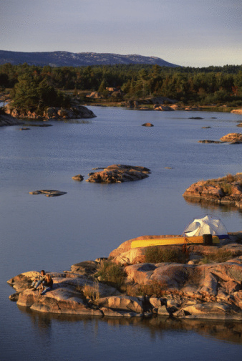
Orientation and Context
Orientation and Context
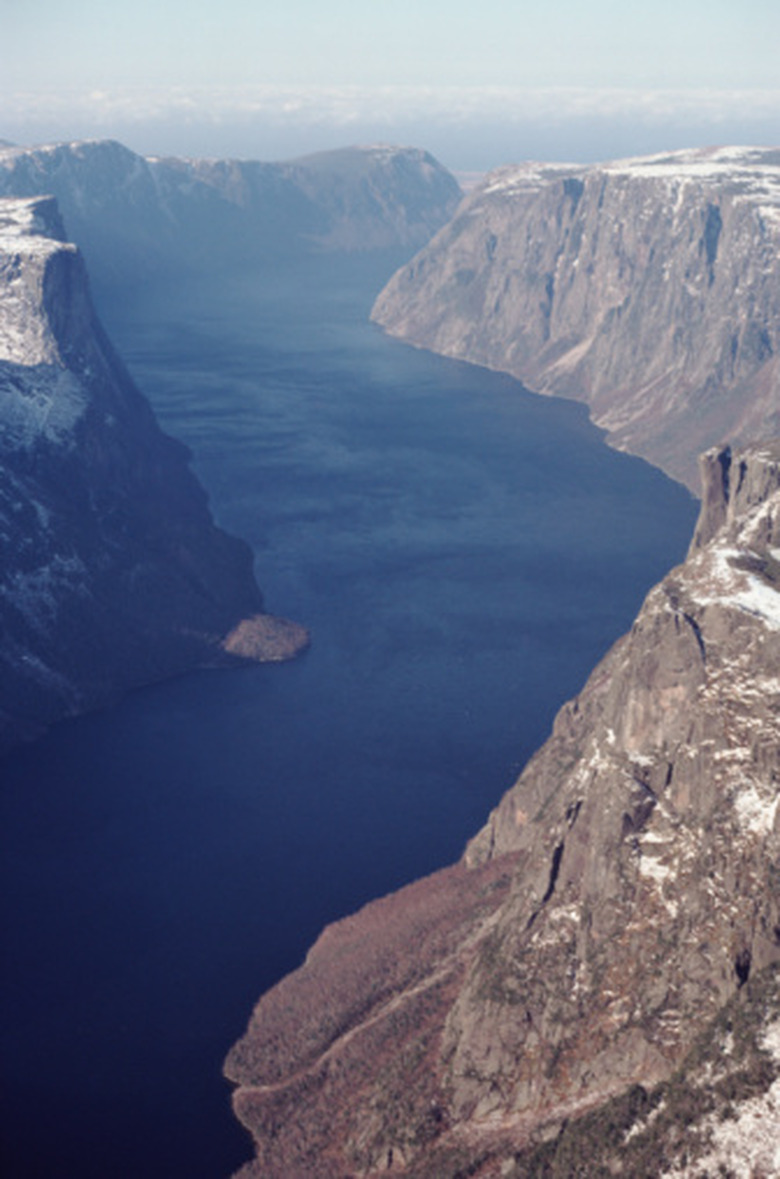
The classification of a landform is based on the context in which it is located; an island is distinct from a hill or mountain because it's surrounded by water. The relief and hydrology (presence of water) of a landform provide this context. For instance, fluvial landforms are defined by the presence of a lake, stream or other moving water within the landform, and oceanic landforms are associated with the ocean and coastline. The orientation of the landform is also an important characteristic. Landforms may have varying orientations relative to tectonic plates or the coast. Fjords are almost always perpendicular to the coastline since this was the direction of the glacial movement that formed the fjord. Conversely, a cordillera is a mountain range that runs parallel to the coastline.
Cite This Article
MLA
Robison, Christopher. "Characteristics Of Landforms" sciencing.com, https://www.sciencing.com/characteristics-landforms-8074831/. 24 April 2017.
APA
Robison, Christopher. (2017, April 24). Characteristics Of Landforms. sciencing.com. Retrieved from https://www.sciencing.com/characteristics-landforms-8074831/
Chicago
Robison, Christopher. Characteristics Of Landforms last modified August 30, 2022. https://www.sciencing.com/characteristics-landforms-8074831/