How Clouds Are Made
Currents of the Air
Currents of the Air
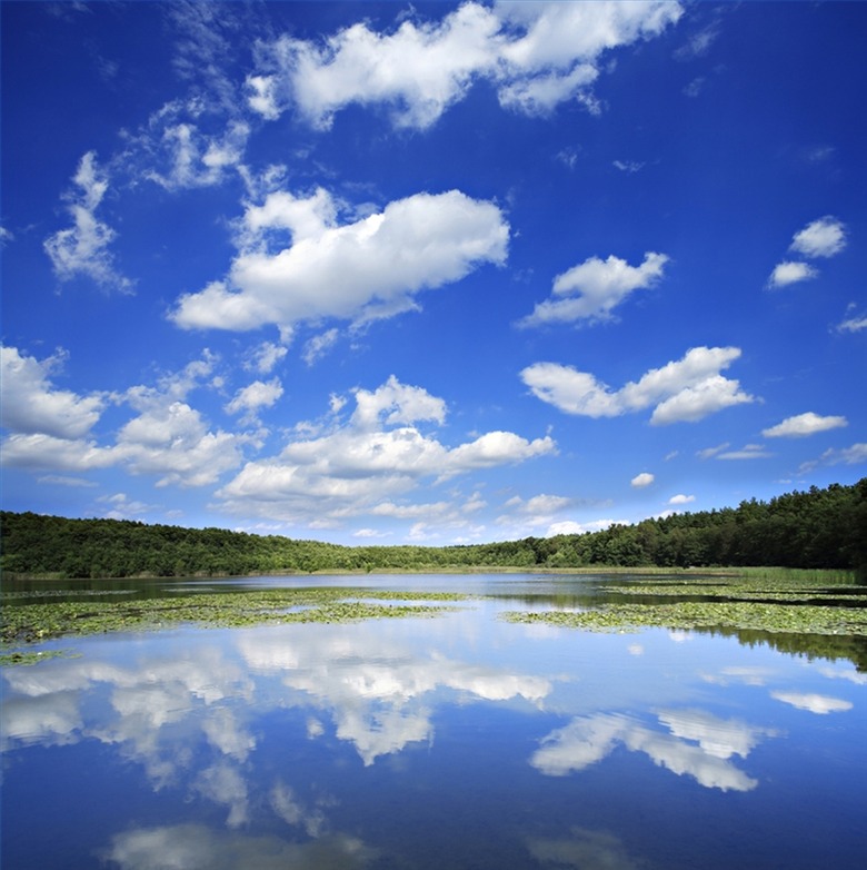
Clouds are made of water, lifted from the earth's surface, that has encountered the colder air aloft in the atmosphere. The wind currents at various elevations in the lowest part of the atmosphere, the troposphere, and the "jet streams" that travel within the stratosphere, shape the clouds we see on earth. In the summer, when the earth's surface warms, humid air rises high above the surface to form the cumulus clouds of the afternoon. In autumn and winter as the earth cools, this colder layer rides closer to the earth, typically catching the water vapor in a lower, flatter formation called "stratus." When water vapor rises above the troposphere without condensing, jet streams brush it into crystalline "cirrus" clouds were the troposphere meets the stratosphere.
The Birth of a Cloud
The Birth of a Cloud
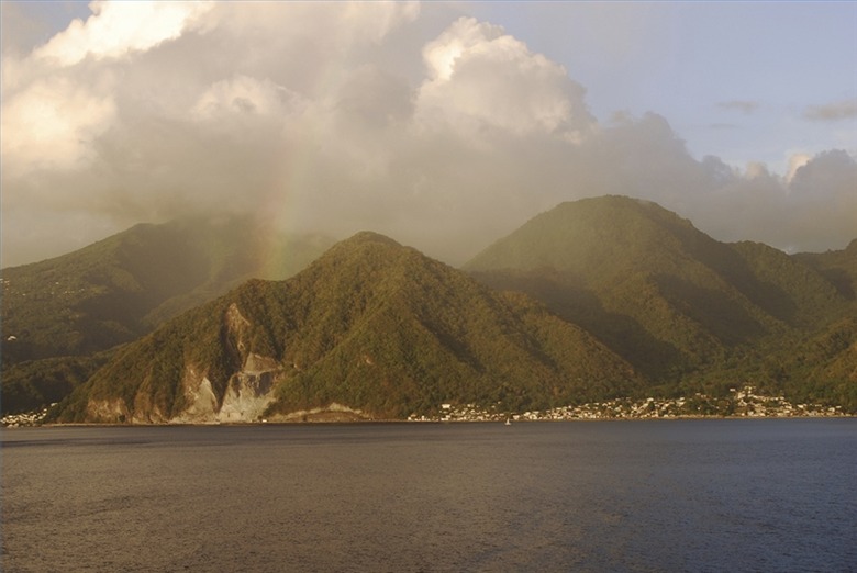
Clouds are part of an infinite process and their birth, life and death is actually part of a cycle that will continue until some catastrophe ends the process or the process itself is altered in a way that prevents its motion. Since the earth is the stage upon which the water cycle plays, earth's features control the way clouds begin their journeys. Bodies of land and water absorb solar energy that warms them, creating layers of warm, moist air on their surfaces. New research also suggests that forests may contribute a hydrocarbon, isoprene, to the vapor-formation process. When enough warm air forms, it will rise (convectional lifting) until it encounters a layer of air sufficiently cold enough to absorb its heat and force the water vapor to condense and form a cloud. If heated air does not rise during the day, its heat dissipates in the evening as the sun sets (radiative cooling), perhaps creating a layer dew or fog at the surface. Air movement at the surface can also help form clouds; warm air lifted over mountains will encounter cooler air as it sloshes up the side of the land form (orographic uplift), causing condensation and heavy rainfall on one side desert conditions on the other if the land form's elevation is high enough.
By-Products of Conflict
By-Products of Conflict
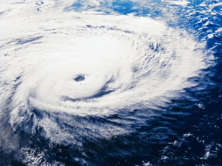
Water vapor is frequently caught up in conflicting air masses that provide the stage for spectacular storms and devastating hurricanes. The uneven heating of the earth's surface sets a stage for warm and cool air masses to collide (convergence or frontal lifting). This collision may happen along cold fronts or it may happen along the "Intertropical Convergence Zones"—areas where the hot, moist air of the tropics meets the cooler air of the Middle Latitudes. As the energy of the warmer air is drained, it becomes "saturated" and its moisture forms water vapor. Vapor is forced upward by other warm air rising and condenses as it meets ever-colder air, mushrooming into cumulonimbus thunderstorm clouds, forming spectacular developments of "wall clouds" or "scud lines" along cold fronts or trailing around cyclones and hurricanes in the tropics.
References
Cite This Article
MLA
Reynolds, Laura. "How Clouds Are Made" sciencing.com, https://www.sciencing.com/clouds-made-5393253/. 24 April 2017.
APA
Reynolds, Laura. (2017, April 24). How Clouds Are Made. sciencing.com. Retrieved from https://www.sciencing.com/clouds-made-5393253/
Chicago
Reynolds, Laura. How Clouds Are Made last modified March 24, 2022. https://www.sciencing.com/clouds-made-5393253/


