How To Convert Northing/Easting Coordinates To Longitude/Latitude
Geographers use multiple mathematics-based graphical systems to describe specific positions on the surface of the Earth. These systems can be wielded with great precision, and can be used to pinpoint a spot to within fractions of a meter as long as enough decimal points are included in the data.
Most people are familiar with the latitude and longitude or lat-long system, which uses degrees, minutes and seconds. The State Plane Coordinate System, or SPCS, is unique to the United States, and makes use of northing and easting coordinates. It is now a tool largely limited to the domain of civil engineering.
Coordinates in Mapping Systems
Coordinates in Mapping Systems
Coordinate mapping systems are called "grids" because they require both horizontal and vertical lines on a map, which is essentially a flat, two-dimensional representation of a spherical, three-dimensional surface. Being able to know how far "over" (east or west) or how far "up" or "down" (north or south) you are from a fixed reference point when you are given certain numbers called coordinates – or alternatively, being able to determine the coordinates from information about distance – is exactly the point of these coordinate systems.
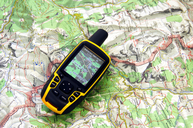
The Universal Transverse Mercator (UTM) system and the latitude/longitude system are the most widely used systems today. It is useful to be able to convert UTM to lat-long. Other systems are used to a lesser but significant extent, including the aforementioned SPCS in the U.S. as well as the Military Grid Reference System (MGRS).
The Latitude-Longitude System
The Latitude-Longitude System
This system uses vertical lines called meridians to indicate east-west position and horizontal lines called parallels of latitude to indicate north-south position. Because the Earth rotates about an axis running through its north and south poles, lines of latitude remain the same distance apart from the equator running around Earth's center to the poles, while lines of longitude converge from their widest points apart at the equator to where they meet at each pole. The reference point for 0 degrees longitude was chosen to be in Greenwich, England. From there, longitude increases from 0 to 180 degrees in both east and west directions. The 0 line of latitude is simply the equator, and the values rise toward their maximum values at the poles as one heads north or south. Thus "45 N, 90 W" specifies a point in the northern hemisphere 45 degrees north of the equator and 90 degrees west of Greenwich.
The State Plane Coordinate System
The State Plane Coordinate System
The SPCS is unique to the U.S. and uses a point to the southwest of each state boundary as the zero reference point for that state's north-south coordinates, called a northing, and its east-west coordinate, called an easting. Note that there is no reason for "westings" or "southings" because all positions west or south of the zero point lie outside the state under examination.
These values are usually given in meters, which can be easily translated into kilometers, miles or feet. Note that northings are equivalent to y coordinates in a standard Cartesian graphing system, whereas eastings are equivalent to x coordinates. Unlike the lat-long system, the SPCS includes no negative numbers.
Convert Northing and Easting to Latitude and Longitude
Convert Northing and Easting to Latitude and Longitude
Because of the algebra needed to convert state plane to lat-long coordinates and conversely, it is helpful to use an online tool such as the one offered by the National Geodetic Survey (see Resources). Similar tools elsewhere on the Web include MGRS converter capabilities, among others.
For example, if you put in the lat-long coordinates 45 and -90 (45 degrees north latitude and 90 degrees west longitude) and click "Convert," this gives the SPCS output as being in WI C-4802 in the state of Wisconsin at a position of 129,639.115 northings and 600,000 eastings, in meters. These values translate to 129 kilometers and 600 kilometers respectively, or about 80 and 373 miles.
Cite This Article
MLA
Beck, Kevin. "How To Convert Northing/Easting Coordinates To Longitude/Latitude" sciencing.com, https://www.sciencing.com/convert-northingeasting-coordinates-longitudelatitude-8636452/. 26 November 2018.
APA
Beck, Kevin. (2018, November 26). How To Convert Northing/Easting Coordinates To Longitude/Latitude. sciencing.com. Retrieved from https://www.sciencing.com/convert-northingeasting-coordinates-longitudelatitude-8636452/
Chicago
Beck, Kevin. How To Convert Northing/Easting Coordinates To Longitude/Latitude last modified March 24, 2022. https://www.sciencing.com/convert-northingeasting-coordinates-longitudelatitude-8636452/