How Does A Cyclone Affect The Weather?
Cyclones and anti-cyclones are the primary meteorological systems that shape your weather. While anti-cyclones are associated with periods of fair weather, cyclones are responsible for shorter periods of foul weather. This foul weather ranges from overcast skies and steady rains to thunderstorms and gusty winds. When a cyclone is approaching your neck of the woods, the best course of action is to get your umbrella ready.
Cyclone Basics
Cyclone Basics
The Earth features warmer temperatures near the Equator, and colder temperatures near the poles. This temperature difference creates a pressure imbalance. Pressure systems, both high and low, are nature's regulating system that seeks to balance or equalize atmospheric pressure around the globe. Cyclones represent areas of low pressure and are, therefore, also known as low-pressure systems. They are identified on weather maps with a red "L." Within these low-pressure systems, air rises from the surface, leading to cloud formation. As a result, low-pressure systems are associated with cloudy weather, a full-range of precipitation and strong winds.
Warm Fronts
Warm Fronts
One way that cyclones affect the weather is through their warm fronts. These fronts extend eastward from the cyclones. They represent the leading edge of warm, moist air that is moving northeastward around the cyclone's counter clockwise circulation. As this warm air attempts to replace colder air to the north, it is gradually uplifted. This uplift forms wide layers of stratus and nimbostratus clouds. Steady rain or snow is typically encountered ahead of these warm fronts. This rainy weather generally has a long duration, due to both the slow advance of warm fronts and the shallow slope of the front itself.
Cold Fronts
Cold Fronts
A second way that cyclones affect the weather is through their cold fronts. These fronts extend to the southwest from the cyclones. They represent the leading edge of cold, dry air that is moving southeastward around the low-pressure system. As this cold air advances into the warm, moist air to the south of the low, it forces the warm air to rise rapidly. This triggers clouds with strong vertical development, known as cumulonimbus. Cold fronts represent areas of severe weather, including heavy rains, damaging hail, lightning and tornadoes. Because cold fronts advance much faster than warm fronts and have a steeper slope, the intense weather associated with them is of a shorter-duration. Behind a passing cold front, you will encounter rapidly clearing skies and falling temperatures.
Tropical Cyclones
Tropical Cyclones
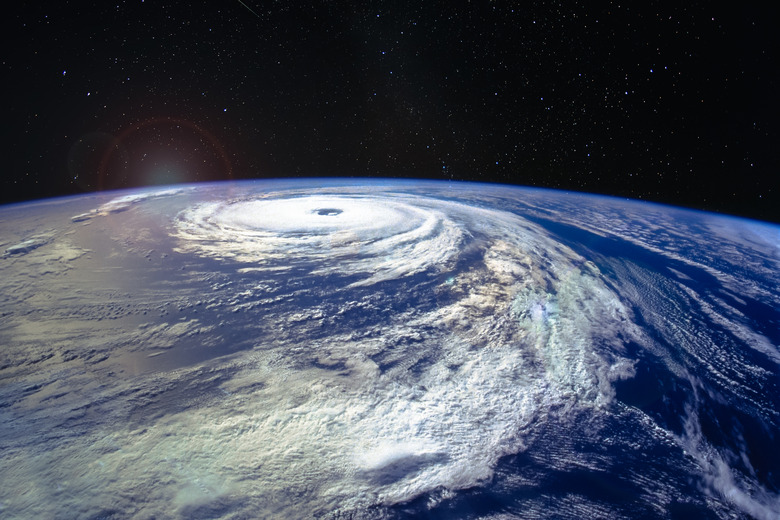
Tropical cyclones, also known as tropical storms and hurricanes, are a special type of low-pressure system. These systems are non-frontal, meaning they are not associated with cold or warm fronts. Rather than mixing cold and warm air masses, they are uniformly warm and moist. Tropical cyclones also combine very low pressures with small size, producing very strong winds and strong vertical cloud development. These winds combine with the cyclone's low pressure to create storm surge, which can flood coastal areas. Finally, even after these tropical cyclones move inland and their winds subside, they can dump large amounts of rainfall, leading to dangerous flooding.
References
- Atlantic Oceanographic and Meteorological Laboratory: FAQ on Hurricanes, Typhoons and Tropical Cyclones
- ESPERE: Pressure Systems
- Windows To The Universe: Low Pressure Systems
- "Essentials of Meteorology;" C. Donald Ahrens; 2008
- FAA: Aviation Weather Advisory Circular 00-6A
Cite This Article
MLA
Bennett, Doug. "How Does A Cyclone Affect The Weather?" sciencing.com, https://www.sciencing.com/cyclone-affect-weather-8626891/. 22 November 2019.
APA
Bennett, Doug. (2019, November 22). How Does A Cyclone Affect The Weather?. sciencing.com. Retrieved from https://www.sciencing.com/cyclone-affect-weather-8626891/
Chicago
Bennett, Doug. How Does A Cyclone Affect The Weather? last modified March 24, 2022. https://www.sciencing.com/cyclone-affect-weather-8626891/
