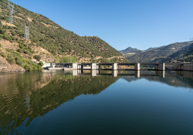
What Are Dam Inundation Areas?
Throughout human history, many cities and regions have been destroyed and many lives have been lost as a result of floods. Dams are built on certain land regions that are near large bodies of water to keep rising water out and to prevent the water body from flooding into the region. If you live in a county or city that a dam protects, then it can be beneficial to understand dam inundation areas.
Inundation Areas
Inundation Areas
When dams that are designed to restrict water from entering a region of land fail, the water body being restricted suddenly and abruptly charges into the city or region. However, because of geographic patterns and slopes in the land, usually certain sections of the area downstream from the dam get completely covered with the flooding water while other areas of the land remain safe and dry. The specific areas of land that would become flooded and covered with water if a particular dam were to break or fail is known as the inundation area.
Reasons Dams Fail
Reasons Dams Fail
Dams insufficiently built sometimes fail; after a long period of time, the flaws in the architecture are exposed as the dam breaks and water suddenly floods into the region. Other times the dam does not break, but instead is simply overwhelmed by the height of the rising water due to storms. Enormous storms can unexpectedly cause a large water body to rise to unforeseen heights beyond the reach of the dam, and in these situations the rising water surges over the top of the dam and rushes into the region to flood the land.
Maps
Maps
Many states have enacted laws that require city and local government officials to establish the inundation areas that floods would affect in the given region. Scientists and geographers can measure and analyze the shape of the land and predict what areas would be covered in water if a dam were to break or become overwhelmed by rising water. Based on the results, many cities and counties develop inundation area maps that depict the particular areas of land that would be covered if a dam were to fail.
Evacuations
Evacuations
Although sometimes floods occur unexpectedly due to storms or breaks, many times the dam or rising water will display signs that a flood is imminent. Thus, many states have established laws that force city or county officials to warn people in the inundation areas and to order evacuations from the areas when dams indicate impending failures and potential floods. Although the evacuation warnings might only apply to inundation areas, the specified areas are not exact.
Cite This Article
MLA
Heuberger, Brian. "What Are Dam Inundation Areas?" sciencing.com, https://www.sciencing.com/dam-inundation-areas-8630556/. 22 November 2019.
APA
Heuberger, Brian. (2019, November 22). What Are Dam Inundation Areas?. sciencing.com. Retrieved from https://www.sciencing.com/dam-inundation-areas-8630556/
Chicago
Heuberger, Brian. What Are Dam Inundation Areas? last modified March 24, 2022. https://www.sciencing.com/dam-inundation-areas-8630556/