Different Parts Of A Globe
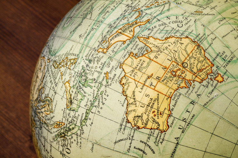
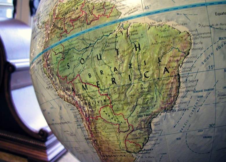
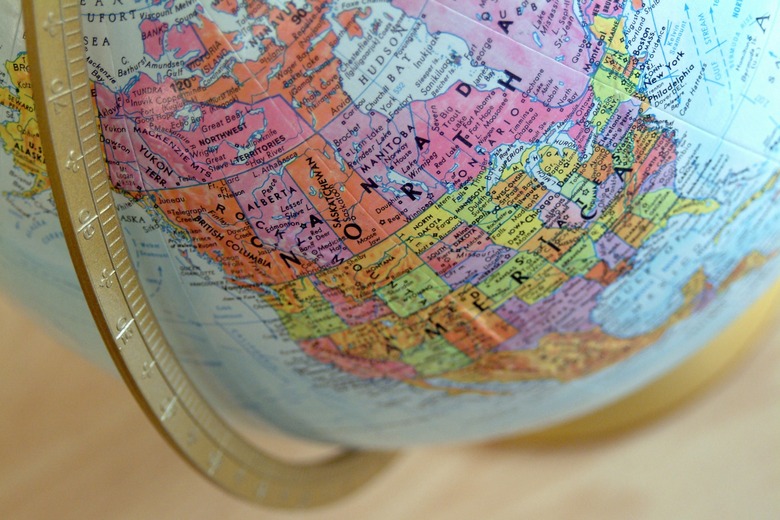
Basically, a globe is a miniature physical representation of the Earth. The parts of a globe include its landforms and bodies of water. A globe also includes human inventions, such as the borders that delineate countries, as well as lines that span the globe's circumference. Although specific features of individual globes may vary slightly, all share the same significant elements.
TL;DR (Too Long; Didn't Read)
Globe Definition: any spherical or rounded object that is made to represent the surface of the earth. These include plastic, glass and paper mache globes.
Features of Globe Landforms
Features of Globe Landforms
Globes depict the world's islands and its seven continents: Europe, Asia, – which some classify as "Eurasia" – North America, South America, Africa, Antarctica and Australia. Significant landforms, such as mountain ranges, plateaus, plains and deserts are labeled on each globe. Most globes also mark the higher mountain peaks of the world such as Mt. Everest. With the exception of Antarctica, every continent contains various countries, delineated by political boundaries. These borders may change over the years, based on the outcomes of human activities, such as wars. A globe from the 1930s looks quite different than a globe from the 1990s or 2000s.
Bodies of Water on a Globe
Bodies of Water on a Globe
Although a single interconnected ocean covers more than 70 percent of the Earth's surface, globes divide this ocean into four or five separate components, based primarily on the outlines of the continents. Some globes show four oceans: the Atlantic, Pacific, Indian and Arctic, with many additionally partitioning the Atlantic and Pacific into North and South sectors. The U.S. Board on Geographic Names officially recognizes a fifth ocean, known as the Southern or Antarctic Ocean, which is frequently labeled on globes. Additionally, some globes show ocean currents, such as the Gulf Stream. Globes also display other types of water bodies, such as seas, gulfs, bays and major rivers and lakes.
Characteristics of Globe Lines
Characteristics of Globe Lines
Parallel lines of assorted types crisscross any globe. These lines are human inventions, rather than actual geographic features. Typically, on most globes, lines of latitude and longitude are displayed in 10-degree increments. Latitude lines circle the globe in a horizontal direction. The equator is the most well-known line of latitude. Other key lines of latitude include the Arctic and Antarctic Circles, which demarcate the polar regions, and the Tropic of Capricorn and the Tropic of Cancer, which define Earth's tropical zones, according to the position of the sun during the solstices. Lines of longitude run in a vertical direction. The two most important lines of longitude are the Prime Meridian and International Date Line. The Prime Meridian passes through Greenwich, England and establishes Coordinated Universal Time. The International Date Line passes through the middle of the Pacific Ocean and separates one calendar day from the next.
Hemispheres and Poles
Hemispheres and Poles
A globe separates the Earth into hemispheres in two distinct ways. The equator divides the Earth into the Northern Hemisphere and the Southern Hemisphere. The Prime Meridian and the International Date Line demarcate the boundaries between the Eastern and Western Hemispheres. Two other important features of a globe are the poles. The geographic North Pole and South Pole are, respectively, the most northerly and most southerly points on the planet. Some globes also label the North Magnetic Poles and the South Magnetic Poles, whose positions vary slightly year by year.
Cite This Article
MLA
Harris, Amy. "Different Parts Of A Globe" sciencing.com, https://www.sciencing.com/different-parts-globe-8291168/. 7 August 2018.
APA
Harris, Amy. (2018, August 7). Different Parts Of A Globe. sciencing.com. Retrieved from https://www.sciencing.com/different-parts-globe-8291168/
Chicago
Harris, Amy. Different Parts Of A Globe last modified March 24, 2022. https://www.sciencing.com/different-parts-globe-8291168/


