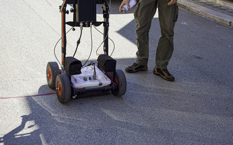
Homemade Ground Penetrating Radar
Ground-penetrating radar, or GPR, is a remote sensing system that employs radio technology to map and analyze what is beneath the ground surface. By transmitting, receiving and translating radio waves into comprehensible images, users can evaluate geology and soil content, identify mineral resources and locate artifacts or other underground objects.
Basics
Basics
A GPR system employs radio technology for underground analyses by emitting and measuring the property and frequency of the reflected waves. Generally, an antenna configuration is hooked up to GPR transmission-reception equipment and a computational unit, which can use software or offsite support to produce images and allow image analysis.
Types
Types
The type of GPR and the design utilized depend on the application and purpose of the technology. Soil content, terrain and desired depth of penetration influence the design and radio frequency used. The subterranean objects of interest, such as mineral resources or artifacts, will also influence the type of GPR used.
Homemade GPR
Homemade GPR
GPR technology requires a complex understanding of the engineering principles involved, and you must be able to design equipment to match your purpose. Cost and quality are difficult obstacles to overcome in homemade GPR technology. Radiation is a hazardous element of GPR.
Homemade Design
Homemade Design
One may strip a magnetron oscillator and generator from a microwave and fit it into a waveguide with dimensions that cater to the desired frequency length, width and depth. An antenna powered by a car alternator or other generator can be used as a receiver and transmitter. The receiver can be linked to GPR computational software on a PC or tablet via an analog-to-digital converter.
Cite This Article
MLA
Baer, Andrew. "Homemade Ground Penetrating Radar" sciencing.com, https://www.sciencing.com/homemade-ground-penetrating-radar-8308662/. 27 April 2011.
APA
Baer, Andrew. (2011, April 27). Homemade Ground Penetrating Radar. sciencing.com. Retrieved from https://www.sciencing.com/homemade-ground-penetrating-radar-8308662/
Chicago
Baer, Andrew. Homemade Ground Penetrating Radar last modified March 24, 2022. https://www.sciencing.com/homemade-ground-penetrating-radar-8308662/
