What Are Some Interesting Facts About Stratus Clouds?
If you're lying on your back looking for shapes in the clouds, you're not looking at stratus clouds. Nor are those wispy, veil-like clouds that appear on cold days stratus clouds. If you want to see stratus clouds, just wait for a gray day. The formless, dense blanket of gray covering the sky and creating a mild but palpable sense of gloom is composed of stratus clouds. They aren't rain clouds, but they can create a fine mist and, if they are dense enough and conditions are right, it will rain. If you like sunny weather, you won't like stratus clouds. They block the sun and they can hang around for days.
Like High-Altitude Fog
Like High-Altitude Fog
Clouds and fog are basically the same things, but most clouds form only at elevation, while fog forms near the ground.. Clouds and fog occur because of moisture condensation, but at higher elevations, the water tends to freeze into ice crystals, making high-altitude clouds more reflective and impressive than the ones that form near the ground.
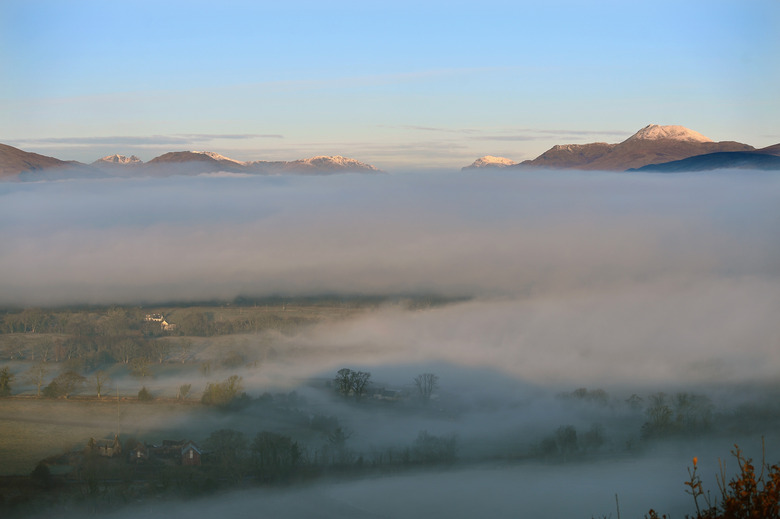
Stratus clouds form at low altitudes and are more closely related to fog than other types of clouds. They aren't the same as fog, however, because fog usually forms from ground moisture, whereas stratus clouds form from moisture already in the air. They occur when air currents push cold air above a blanket of warm air and moisture quickly condenses. The air currents that form stratus clouds are usually light, and conditions are usually still. The clouds will hang around as long as conditions remain that way.
Just Generally Gray
Just Generally Gray
If you look at the sky on a gray day, you won't see much definition in the clouds, but if you fly above them, you'll see that they do have discernible shapes The layer closest to the ground is full of moisture, and the air at the ground may even be misty. That bottom layer usually obscures the shapes of the clouds themselves, but occasionally the mist clears and you can see the clouds. They are generally dense, heavy and large. A single cloud can stretch from horizon to horizon. Because they are so dense, they do a good job of blocking sunlight, so the bottom layer of the clouds – behind the mist – is generally very dark.
Nimbostratus and Altostratus Clouds
Nimbostratus and Altostratus Clouds
When stratus clouds form at elevations below 2,000 meters (6,500 feet), they are known as nimbostratus clouds. These are unusually dark, heavy and full of moisture, and are an indicator of a rainy day. Stratus clouds that form at elevations from 2,000 to 7,000 meters (6,500 to 23,000 feet) are known as altostratus clouds. Because the air is colder at higher elevations, altostratus clouds may contain ice crystals, making them a bit more reflective and giving them more definition that nimbostratus clouds. They are dense, but occasionally they thin out enough to allow the sun to shine through, creating the "watery sun" that is characteristic of a rainy day.
A Halo Around the Sun
A Halo Around the Sun
Sailors have known for ages that a halo around the sun is the harbinger of bad weather. The clouds that crate the halo are very high-altitude stratus clouds known as cirrostratus clouds. These clouds lack definition and usually appear from the ground as a thin haze. They are full of moisture, and when they arrive, lower-level stratus clouds usually aren't far behind. When you see a halo around the sun, you should expect rainy weather in a day or two.
Cite This Article
MLA
Deziel, Chris. "What Are Some Interesting Facts About Stratus Clouds?" sciencing.com, https://www.sciencing.com/interesting-stratus-clouds-8387559/. 9 August 2018.
APA
Deziel, Chris. (2018, August 9). What Are Some Interesting Facts About Stratus Clouds?. sciencing.com. Retrieved from https://www.sciencing.com/interesting-stratus-clouds-8387559/
Chicago
Deziel, Chris. What Are Some Interesting Facts About Stratus Clouds? last modified March 24, 2022. https://www.sciencing.com/interesting-stratus-clouds-8387559/
