Land Features In The Marine Freshwater Biome
The world's aquatic biomes cover three quarters of the earth's surface, comprising two main categories: the marine regions and the freshwater regions. Fresh water has an extremely low concentration of salt, generally below one percent. Marine regions have higher concentrations of salt. Marine biomes – for the most part oceans – account for about 72 percent of the earth's surface, according to National Geographic Society.
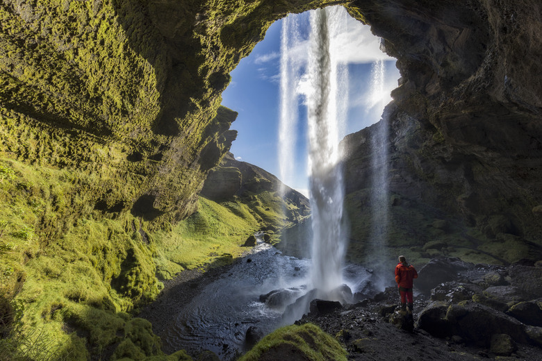
Land Features Around Freshwater Biomes
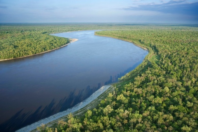
Land Features Around Freshwater Biomes
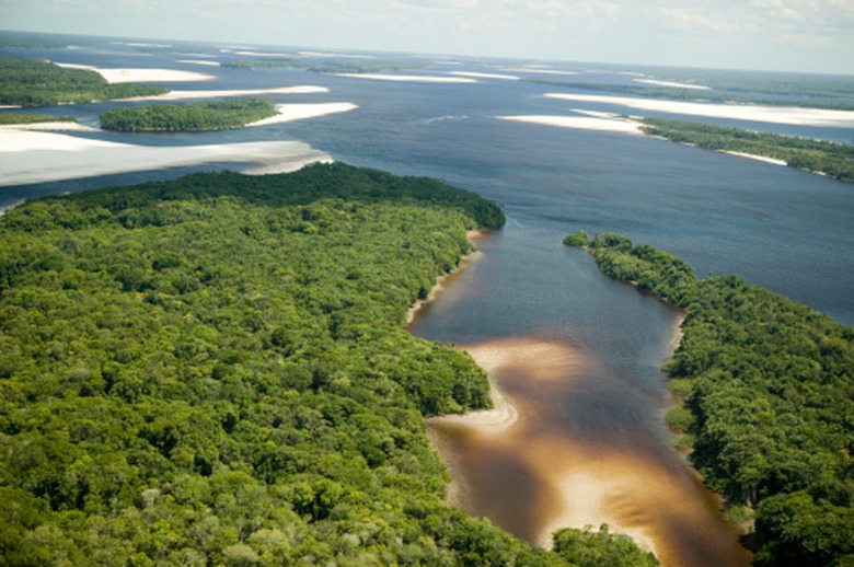
Freshwater biomes include rivers, streams, ponds, lakes and wetlands, such as marshes, alongside river estuaries. Ponds and lakes are essentially basins filled with water. The depression caused by flowing water of rivers and streams is called a channel, and the bends along the water's path are called meanders. Common land features along rivers that have overflowed their banks in the past are floodplains on which river sediment builds up to form natural levees.
Land Features Under the Ocean
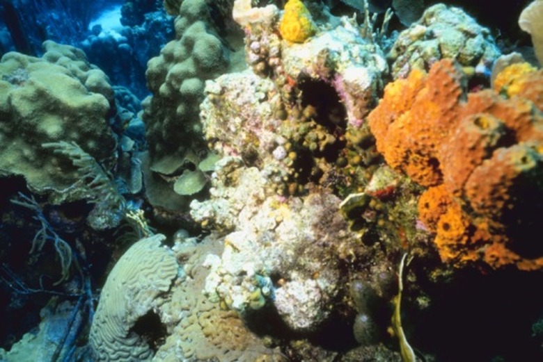
Land Features Under the Ocean
Marine regions include oceans, coral reefs and estuaries. The ocean meets the land in the "intertidal zone." In the ocean, or rather under it, are continental shelves, abyssal plains (at the deepest points under the ocean), rises, ridges, basin-shaped estuaries and trenches. Coral reefs are not land in the same sense as other forms, but rather the secretions of living creatures called coral that build an extraordinary ecosystem that is habitat to more species.
Land Features Where the Oceans Meet the Shore
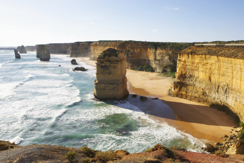
Land Features Where the Oceans Meet the Shore
Where oceans meet the land in the intertidal zones, common landforms are beaches, headlands, spits (created by waves striking the beach diagonally, forming ridges of sand and other sediment carried by the waves), lagoons, sand islands, rocky islets or cliffs. A sea cliff slopes down from above ground to under water, and erodes at different rates depending on the types of rock and velocity of wave movement. Some sea cliffs can be eroded to the point of separating into discrete parts to become sea arches or sea stacks.
Marine and Freshwater Biomes Combine in Estuaries
Marine and Freshwater Biomes Combine in Estuaries
Estuaries are a combination of two aquatic biomes where the fresh water in rivers or wetlands meets and mixes with the salt water of the sea. This water is called brackish. Many (but not all) bays, lagoons, harbors and sounds may be estuaries. For example, San Francisco Bay and New York Harbor are both estuaries. All estuaries are partially enclosed by natural land barriers — including barrier islands and peninsulas — that protect them from the waves and wild storms of the sea.
Cite This Article
MLA
Fuller, Donna. "Land Features In The Marine Freshwater Biome" sciencing.com, https://www.sciencing.com/land-features-marine-freshwater-biome-8562762/. 22 November 2019.
APA
Fuller, Donna. (2019, November 22). Land Features In The Marine Freshwater Biome. sciencing.com. Retrieved from https://www.sciencing.com/land-features-marine-freshwater-biome-8562762/
Chicago
Fuller, Donna. Land Features In The Marine Freshwater Biome last modified March 24, 2022. https://www.sciencing.com/land-features-marine-freshwater-biome-8562762/