Landforms & Bodies Of Water In The Southern Colonies
During the 1600 and 1700s, the southern colonies consisted of Georgia, South Carolina, North Carolina, Virginia and Maryland. These places are characterized by few natural lakes, rolling mountains in the west and a sandy coastline with an extended coastal plain. To the south there thrived the colonial empire of Spain, and in some places Native American villages survived among the colonists.
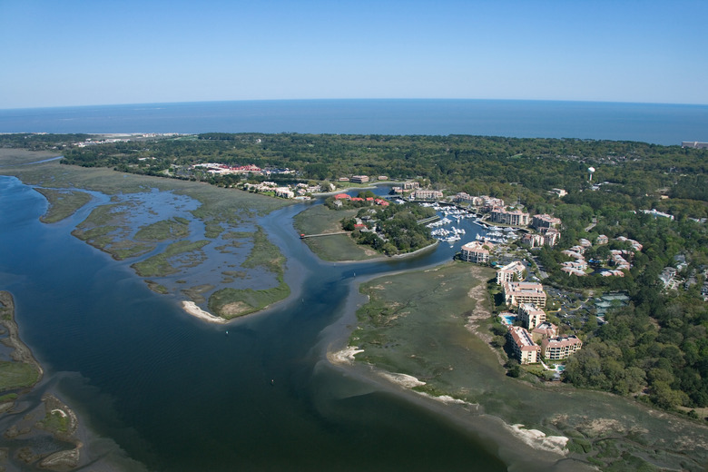
Barrier Islands
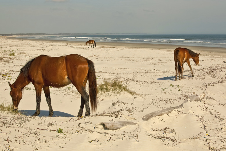
Barrier Islands
Although no one knows exactly how barrier islands are formed, their presence in the Southern colonies from Maryland to Georgia provide modern-day residents with a vital recreational resource and rich natural area. Most scientists will agree that these sandy strips of land are the result of an interaction between sand, waves and changing sea levels. The land is characterized by rich beach biological communities, a sandy soil substrate that only rises a few feet above sea level, shallow offshore shoals and saline bodies of water that separate the string of islands from the mainland. Sometimes, as in the case of Pamlico Sound in North Caroilina, these bodies of water are quite large. They also can be very small, like Port Royal Sound in South Carolina.
Appalachian Mountains
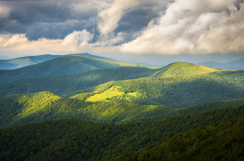
Appalachian Mountains
Geologically, the rocks of the Appalachian mountain range are very old, but the rounded ridges and peaks were formed roughly 300 million years ago during a large geological upthrust of land. Since that time, the mountains have been eroded to their present form and shaped by the forces of nature. This backbone of the South rises up to over 6,000 feet, effectively forming a natural western boundary to the Southern colonies.
Rivers
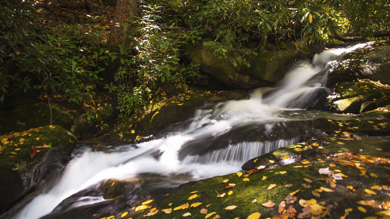
Rivers
In general, rivers of the former Southern colonies flow eastward to the Atlantic. Their headwaters are located high in the Appalachians. Next, these vital watercourses flow across the rocky terrain of the Piedmont region and onto the vast sandy coastal plain, where they turn into slow-moving and meandering waterways. At the coastline, the southeastern rivers usually create a large bay or sound within the eastern edge of the shoreline. These places are characterized by saline or brackish water, and homes to large populations of aquatic lifeforms, including many fish and birds.
Piedmont

Piedmont
Literally translated as foot hills, the Piedmont is a distinctive region. The dividing line between the Piedmont and the Blue Ridge Mountains is the Brevard Fault zone, which runs in a slightly northeastern to southwestern direction through all the former southern colonies. The hilly terrain of the Piedmont was created long ago by metamorphic geological actions on sedimentary rocks interspersed with igneous intrusions. Today, this populated region of rolling hills and granite outcrops gives way to the sandy flatlands of the coastal plain as one travels eastward.
Cite This Article
MLA
Bauholz, Henri. "Landforms & Bodies Of Water In The Southern Colonies" sciencing.com, https://www.sciencing.com/landforms-bodies-water-southern-colonies-8404135/. 24 April 2017.
APA
Bauholz, Henri. (2017, April 24). Landforms & Bodies Of Water In The Southern Colonies. sciencing.com. Retrieved from https://www.sciencing.com/landforms-bodies-water-southern-colonies-8404135/
Chicago
Bauholz, Henri. Landforms & Bodies Of Water In The Southern Colonies last modified August 30, 2022. https://www.sciencing.com/landforms-bodies-water-southern-colonies-8404135/