Landforms Of California
"Go where you may within the bounds of California, mountains are ever in sight, charming and glorifying every landscape." The words of the naturalist, John Muir have delighted many who travel over California's landscape. However, the state's landforms do not stay within the limits of mountains, though those soaring monsters of earth do make up a significant portion of the state's geography. The addition of deserts and valleys create one of the country's most diverse states.
Deserts
Deserts
Situated in the south and southeast portion of California, the Mojave and Colorado Deserts exchange the state's fertile, forested areas for sandy wasteland. Death Valley occupies this extremely hot, arid region, as well as the lowest point found in the United States, which sinks down to 282 feet below sea level, according to World Atlas. Mostly flat land, a few jagged peaks form in this area. The innovations of irrigation into parts of the deserts have managed to turn some of this inhospitable land into thriving farmland.
Central Valley
Central Valley
Sandwiched between the Coastal Mountains in the west and the Sierra Nevada Mountains in the east, the Central Valley region encompasses Sacramento Valley and the San Joaquin Valley, according to the World Atlas. It stretches out for 462 miles through the middle of California. Home to fertile soil, according to E-Teaching Assistance Program, roughly three-fifths of the state's productive farmland lies in this area. Due to this, the Central Valley has become the most essential farming region west of the Rocky Mountains.
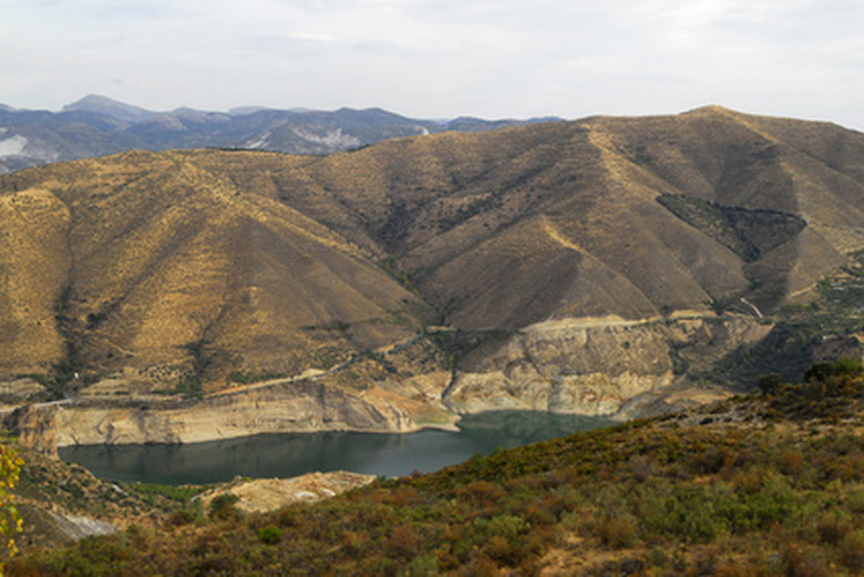
Mountains
Mountains
The Coastal Mountains and the Sierra Nevada range comprise the major mountain ranges in California. Others include the Klamath range in the north and the Transverse, also known as the Los Angeles ranges and peninsular ranges or San Diego ranges in the southwest. The Coastal Mountains create a continuous line for 800 miles down California's coast to the Mexican border, broken only for a space at the Golden Gate Bridge. Mount Whitney, in the Sierra Nevada range, peaks at 14,494 feet in height, making it the tallest mountain in the lower 48 states.
Water Landforms
Water Landforms
Other notable landforms in California consist of rivers and lakes that wind through and dot the landscape. The Colorado River runs along the border of California and Arizona. In the middle of the state, the San Joaquin and Sacramento rivers dissect the Central Valley. Lake Tahoe rests in the crook of California bleeding into Nevada, while the Salton Sea sits in the far south.
Cite This Article
MLA
Stuchlik, Alecia. "Landforms Of California" sciencing.com, https://www.sciencing.com/landforms-california-7868283/. 22 November 2019.
APA
Stuchlik, Alecia. (2019, November 22). Landforms Of California. sciencing.com. Retrieved from https://www.sciencing.com/landforms-california-7868283/
Chicago
Stuchlik, Alecia. Landforms Of California last modified August 30, 2022. https://www.sciencing.com/landforms-california-7868283/