What Are The Physical Characteristics Of The Atlantic Coastal Plains?
The Atlantic Coastal Plain stretches from the southern fringe of New England to the gentle topographic divide of the Florida peninsula that separates it from the similar Gulf Coastal Plain. Indeed, the two are often considered together in a single geological province as the Atlantic-Gulf Coastal Plain. This place of pinelands, swamps and sand beaches boasts rich biodiversity and subtle scenery.
Geology
Geology
Built from the deposits of rivers draining the Appalachians and of coastal marine waters, the Atlantic Coastal Plain is defined by broad beds of sandstone, shale, limestone, clay and other sedimentary formations. The plain dips subtly seaward, and merges seamlessly off the East Coast with the submerged continental shelf. Sea levels have fluctuated dramatically with cyclical glacial and inter-glacial periods.
Sections
Sections
Geologists divide the Atlantic Coastal Plain into a number of sections based on structural characteristics. The northern end, characterized by a narrow strip of glacially impacted coast fenestrated by estuaries and bays, is called the Embayed Section; it stretches from Cape Cod in Massachusetts to the vicinity of Cape Lookout in North Carolina. South of the Embayed Section is the Cape Fear Arch, encompassing much of the coast of both Carolinas; then the Sea Islands Downwarp of southern South Carolina, Georgia and far northern Florida; and finally the Peninsular Arch of Florida, which merges with the Gulf Coastal Plain to the west.
Landforms
Landforms
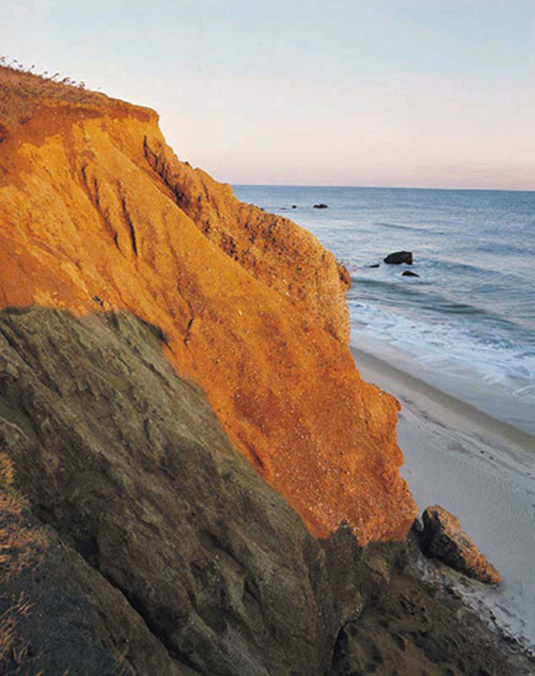
Much of the Atlantic Coastal Plain is dramatically flat. Its landward boundary with the higher, more rugged Piedmont Plateau — a province of the ancient Appalachian Mountains — is defined by the "fall line," where rivers drop from the highlands to low-gradient, meandering courses along the Coastal Plain. The name stems from the cascades and waterfalls marking this physiographic frontier, which serves as an upstream limit to commercial navigation on the rivers and has long played host to some of the region's larger cities. Low ridges punctuating the plain mark former shorelines, tracking the fluctuation of sea level. The immediate shore in the Embayed Section is marked by drowned river valleys now serving as large estuaries, while farther south sandy barrier islands are common.
Ecological Landscapes
Ecological Landscapes
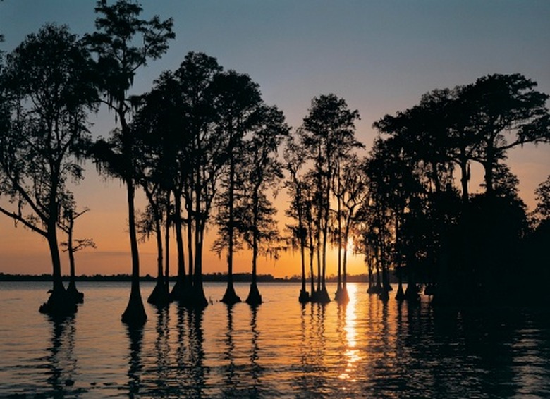
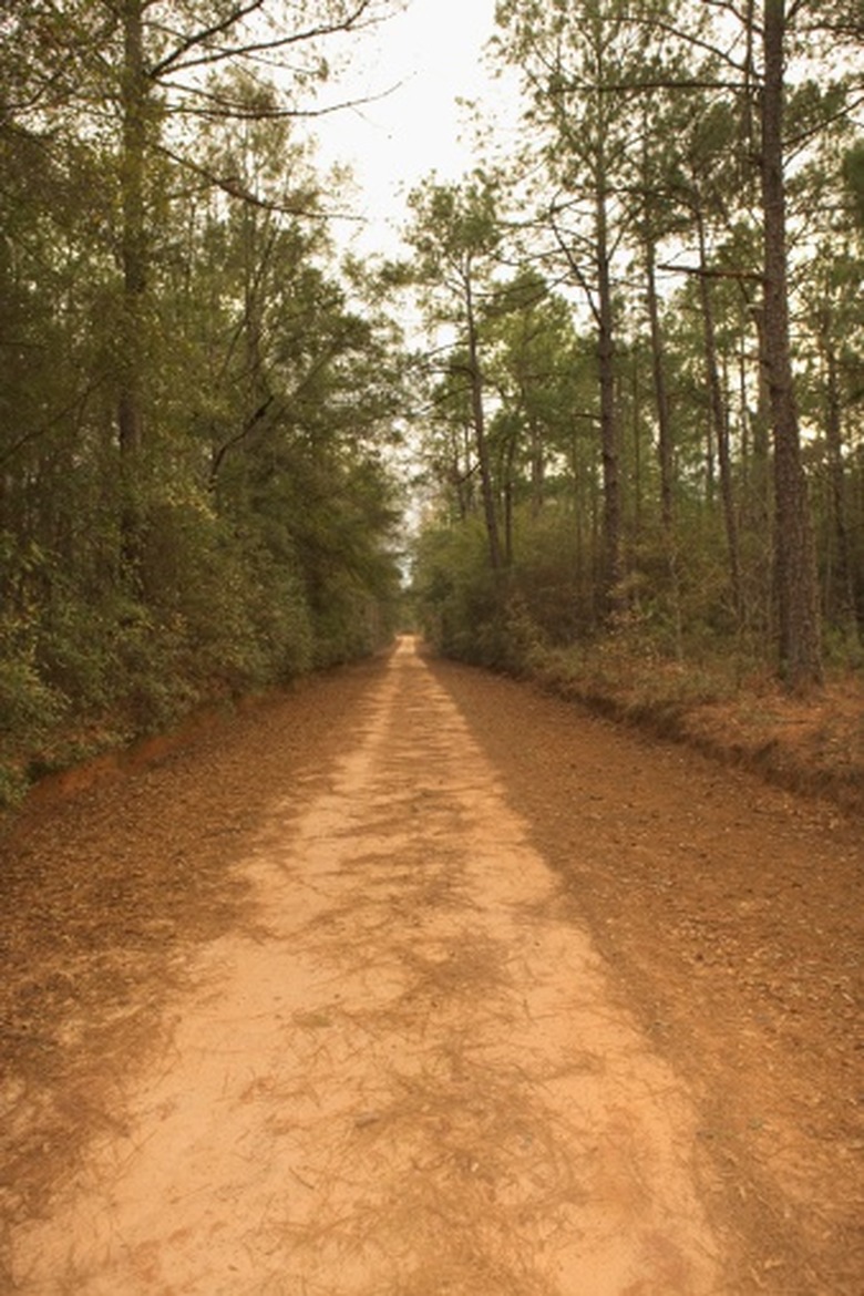
Swamps are common on the Atlantic Coastal Plain, forming along along the floodplains of big rivers and other poorly drained areas. Influences of latitude, soils and hydroperiod — the amount of time a given swamp is inundated with water — help determine the vegetation communities defining a particular wetland. Some of the most important trees in Coastal Plain swamps include bald-cypress, water tupelo, Atlantic white-cedar and red maple; among the famous swamps are Okefenokee in Georgia and Florida, the Great Dismal Swamp of Virginia and North Carolina, and the Congaree Swamp of South Carolina. Great tracts of pinewoods are common along Atlantic Coastal Plain uplands, dominated by species like longleaf and loblolly pine. Estuarine environments along the immediate coast are rich frontiers of marine and freshwater ecosystems.
References
- "Natural Landscapes of the United States"; James A. Henry, Joann Mossa; 1995
Cite This Article
MLA
Shaw, Ethan. "What Are The Physical Characteristics Of The Atlantic Coastal Plains?" sciencing.com, https://www.sciencing.com/physical-characteristics-atlantic-coastal-plains-8475541/. 24 April 2017.
APA
Shaw, Ethan. (2017, April 24). What Are The Physical Characteristics Of The Atlantic Coastal Plains?. sciencing.com. Retrieved from https://www.sciencing.com/physical-characteristics-atlantic-coastal-plains-8475541/
Chicago
Shaw, Ethan. What Are The Physical Characteristics Of The Atlantic Coastal Plains? last modified March 24, 2022. https://www.sciencing.com/physical-characteristics-atlantic-coastal-plains-8475541/


