The World's Greatest Thunderstorm Factories
Whether it's a simple "air-mass" thunderhead pluming up on a summertime afternoon or an epic phalanx of storms marking an advancing weather front, thunderstorms rank among the real showstoppers of our planet's phenomena. Vital sources of rainfall and fundamental players in the atmosphere's energy balance, t-storms can also be terrifying, spitting deadly lightning and unleashing the occasional tornado. Thunderstorms can form just about anywhere outside the polar latitudes, but certain geographies might be described as genuine t-storm factories – places where thunderstorms thrive.
Earth's Weather-making Belt: The Intertropical Convergence Zone
Earth's Weather-making Belt: The
Intertropical Convergence Zone
Earth comes with a waist belt of rainstorms in the form of the Intertropical Convergence Zone (ITCZ), named for the confluence of trade winds of the Northern and Southern hemispheres. Intense solar heating around the equator causes warmed air to rise (convection), cool and condense clouds to produce relentless precipitation. Over oceans, which don't heat up as quickly or intensely as landmasses, the ITCZ is more a girdle of rainclouds and weak maritime thunderstorms. Where it passes over the continental tropics, however – particularly Africa, Southeast Asia, and South America – the zone manifests in frequent year-round thunderstorms defined by much more intense convection.
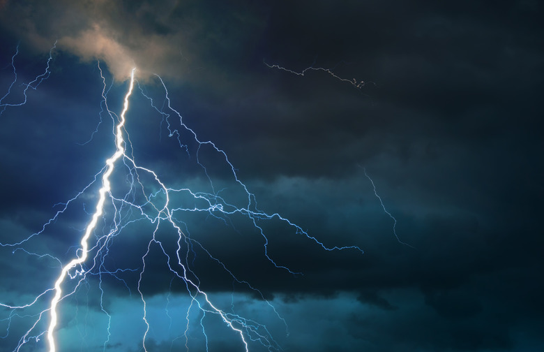
Lake Maracaibo: Catatumbo Lightning
Lake
Maracaibo: Catatumbo Lightning
So relentless are the nighttime thunderstorms of Lake Maracaibo, a huge lagoon in northern Venezuela fed by the Catatumbo River, that they've been nicknamed the "Lighthouse of Catatumbo." Indeed, Catatumbo lightning is reliable enough to have provided a navigational beacon for colonial Caribbean seafarers. According to a 2016 paper in the Bulletin of the American Meteorological Society, Lake Maracaibo is Earth's standout lightning hotspot: Thunderstorms rage here nearly 300 days a year on average, peaking (mighty beautifully) afterhours.
The lagoon's position within the ITCZ sets the general stage for thunderstorm development, but the world-class electrical show – an average of 233 flashes per square kilometer per year – appears to be due to a unique confluence of topographic and geographic factors. Backed to the south by Andean ridges and to the north by the Gulf of Venezuela, Lake Maraicabo experiences a whole slew of mountain, valley and sea breezes shifting and reversing around it, plus loads of moisture from the lagoon and the gulf. All this adds up to one unparalleled lightning show.
The Congo Basin: Stormy Heart of the Tropics
The Congo Basin: Stormy Heart of the Tropics
Lake Maracaibo may take the cake when it comes to the sheer frequency of its lightning, but its "lighthouse" storms are highly localized. Where the ITCZ cross Africa, we find a much broader arena for perhaps the strongest thunderstorms in the tropics: those of the Congo Basin, which sees an average rate of 205 flashes per square kilometer per year. Here again, the background torpor of the equatorial zone provides the basic ingredients for convection, but the intensity of that convection well exceeds most other corners of the ITCZ. The Amazon Basin in South America, for instance – a giant rainforest lowland like the Congo – pales in comparison when it comes to t-storm size and vigor. Interestingly, rainfall tends to be less over equatorial Africa than in the same latitudes of South America and Southeast Asia, even as the storms are stronger.
Atmospheric scientists are still sorting out the ins-and-outs of why the Congo Basin is such a flashpoint for big thunderstorms. But, as with Lake Maracaibo, it seems there's a complicated combination of atmospheric and topographic factors going on. These include converging airflows from the Atlantic Ocean and the Congo Basin interior and the influence of surrounding highlands, including the Mitumba Mountains – the western foothills of which see the most lightning on the continent – along the eastern rim of the basin.
Midlatitude Houses of Storm
Midlatitude
Houses of Storm
The Congo Basin may see the greatest number of strong thunderstorms throughout the year, but the very strongest brew up in middle latitudes. The central and eastern United States, south-central South America and to a lesser extent the Indo-Gangetic Plain of South Asia stand out in this regard, the basic storm ingredients being a moist, low-level jet; plenty of vertical wind shear (reversals of wind direction across a short distance); and windward mountains to create instability in westerly airflow.
The United States: Storm Country
The United States: Storm Country
Turbulence in westerlies sloughing over the north-south Rocky Mountains, cold polar air sweeping down from the north and moist maritime masses sweeping up from the Gulf of Mexico and Atlantic: The Great Plains, Central Lowlands and Gulf Coast of the United States form one of the planet's greatest nurseries for violent storms. Along with multi-cell t-storms and squall lines, the region is a global hotbed for supercell thunderstorms, the most ferocious kind.
Distinguished by a rotating updraft, supercells seem to generate most of the severest thunderstorms in the country in terms of hail and windspeed, and – significantly – they also form the spawning ground for the strongest tornadoes. The U.S. claims by far the largest share of tornadoes in the world. A 2003 Weather and Forecasting article defined "Tornado Alley" – the zone for the fiercest twisters in the country – as stretching from the southern Texas Panhandle northward to eastern North Dakota and western Minnesota.
The other standout birthplace for tornadoes in the U.S., and more broadly another of the country's stormiest corners, is the Florida peninsula. That said, Sunshine State tornadoes – many likely generated by waterspouts coming onshore or sea-breeze turbulence rather than supercell thunderstorms – are typically much weaker than those funnel-cloud monsters of the central plains.
Mega-Thunderstorms of South America
Mega-Thunderstorms
of South America
Rivaling the U.S.'s huge central storm nursery – and mirroring it in many ways – the grasslands of the Pampas and the Gran Chaco in south-central South America also whip up some truly spectacular thunderclouds. Paraguay, northern Argentina and southern Brazil conjure huge thunderstorms for the same basic reasons as the Great Plains – not least the fact that, like those North American steppelands, they lie in the lee of a great north-south mountain range, namely the Andes. The large-scale thunderstorm complexes of this region may even exceed their U.S. counterparts in size and duration.
In light of this, it's not altogether surprising that the Pampas also forms the next major belt of global tornado action after Tornado Alley: the Pasillo de los Tornados, or Tornado Corridor.
References
- Bulletin of the American Meteorological Society: Where Are the Lightning Hotspots on Earth? (Rachel I. Albrecht, et al.)
- Bulletin of the American Meteorological Society: Where Are the Most Intense Thunderstorms on Earth? (Edward J. Zipser, et al.)
- Monthly Weather Review: The Large-Scale Environments of the Global Populations of Mesoscale Convective Complexes (Arlene G. Laing, J. Michael Fritsch)
- Weather & Forecasting: Climatological Estimates of Daily Local Nontornadic Severe Thunderstorm Probability for the United States (Charles A. Doswell III, et al.)
- Weather & Forecasting: Climatological Estimates of Local Daily Tornado Probability for the United States (Harold E. Brooks, et al.)
Cite This Article
MLA
Shaw, Ethan. "The World's Greatest Thunderstorm Factories" sciencing.com, https://www.sciencing.com/the-worlds-greatest-thunderstorm-factories-13400311/. 30 June 2017.
APA
Shaw, Ethan. (2017, June 30). The World's Greatest Thunderstorm Factories. sciencing.com. Retrieved from https://www.sciencing.com/the-worlds-greatest-thunderstorm-factories-13400311/
Chicago
Shaw, Ethan. The World's Greatest Thunderstorm Factories last modified March 24, 2022. https://www.sciencing.com/the-worlds-greatest-thunderstorm-factories-13400311/