What Tools Are Used In Geography?
Geographers use a set of specialized tools to describe, understand and explain the structure of the Earth. Some of these tools have a long history of use in the geographical sciences, such as maps, the compass and surveying equipment. Other tools take advantage of modern technology made possible by the Information Age and Space Age, especially Global Positioning Systems. Geography is an essential skill, whether guiding ships across the ocean, positioning astronauts in space or providing directions to grandma's house.
Maps: Drawings of the Land
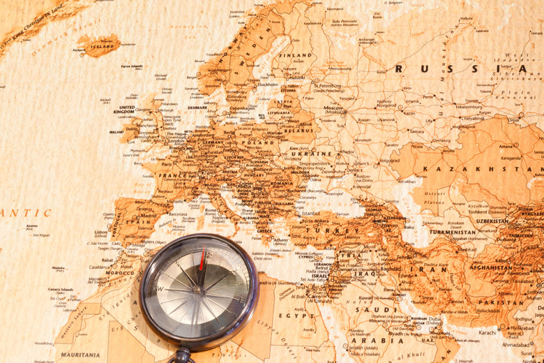
Maps: Drawings of the Land
A map is, at its core, a drawing of a spatial area on Earth. Different maps serve different functions. The most basic map shows the physical features of an area, from a world map depicting countries to a detailed walking map of every path on a college campus. Other kinds of maps can give other data about a region, for example, a color-coded a map of a continent according to languages spoken or major exports, or a graded map showing the relative elevations in a mountainous area.
Surveying Equipment: The Power of Precision
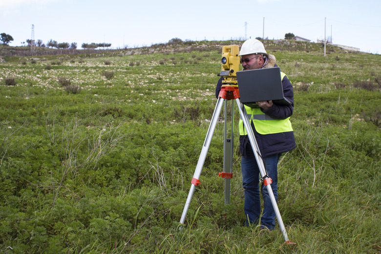
Surveying Equipment: The Power of Precision
You have likely seen these tools used by construction contractors while your car was stopped in traffic, but geographers use them to perform the same task for their jobs. The most recognizable is the theodolite, a level lens on a tripod that helps measure relative distance and elevation. Geographers combine the theodolite with a plumb line and measuring tape to accurately assess even small details of an area.
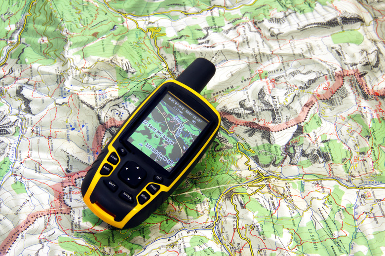
GPS: Space Age Systems

GPS: Space Age Systems
Global Positioning Systems help you navigate by feeding you detailed information about your position and the geographical context nearby. Aside from maps, this may be the geography tool you are most familiar with. Global Information Systems and Global Directional Systems are similar tools. GIS is a database of geographic information consistently updated by academic, business and military sources, while Global Directional Systems help navigate from a database rather than live satellite feed. Geographers use all three systems to help them access what is already known about the Earth to help with ongoing research.
Remote Imaging: Photographic Evidence
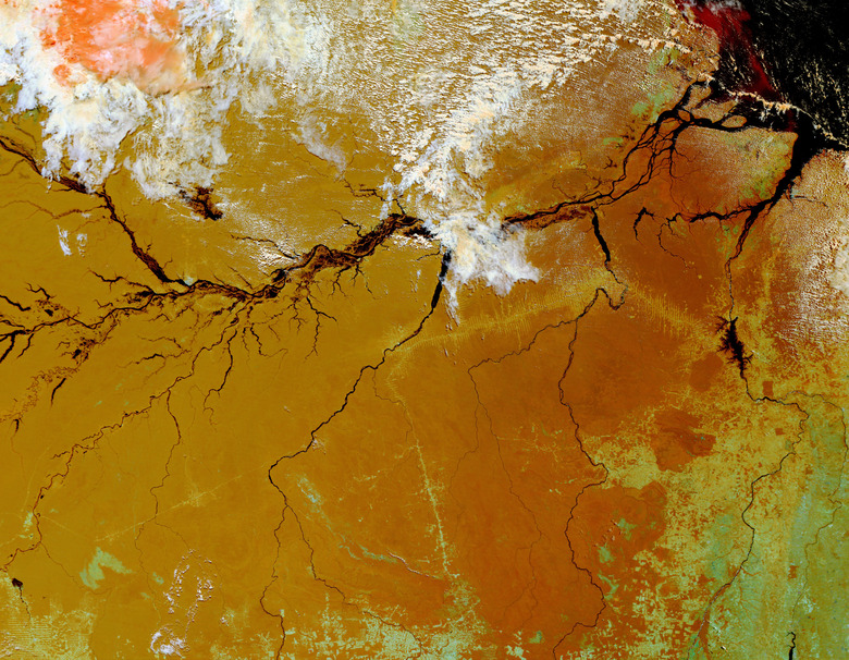
Remote Imaging: Photographic Evidence
Until the middle of the 20th century, geographers had to make maps based on observations and measurements taken on the ground. With the invention of reliable air travel, and later of satellite imaging, geographers can now draw maps and make observations based on photos taken from the same perspective as a map of the area. Modern technology allows geographers to use remote images that record information beyond the visible spectrum, such as magnetic activity, infrared temperature and subterranean water levels.
Cite This Article
MLA
Brick, Beverlee. "What Tools Are Used In Geography?" sciencing.com, https://www.sciencing.com/tools-used-geography-8245388/. 20 April 2018.
APA
Brick, Beverlee. (2018, April 20). What Tools Are Used In Geography?. sciencing.com. Retrieved from https://www.sciencing.com/tools-used-geography-8245388/
Chicago
Brick, Beverlee. What Tools Are Used In Geography? last modified March 24, 2022. https://www.sciencing.com/tools-used-geography-8245388/