Types Of Depositional Landforms
Depositional landforms are the visible evidence of processes that have deposited sediments or rocks after they were transported by flowing ice or water, wind or gravity. Examples include beaches, deltas, glacial moraines, sand dunes and salt domes. Such landforms can change their shapes over a relatively short period of time if the process that caused the buildup is recent and still going on. On the other hand, some depositional landforms are remnants of processes that were completed millions of years ago.
Glacier Deposits
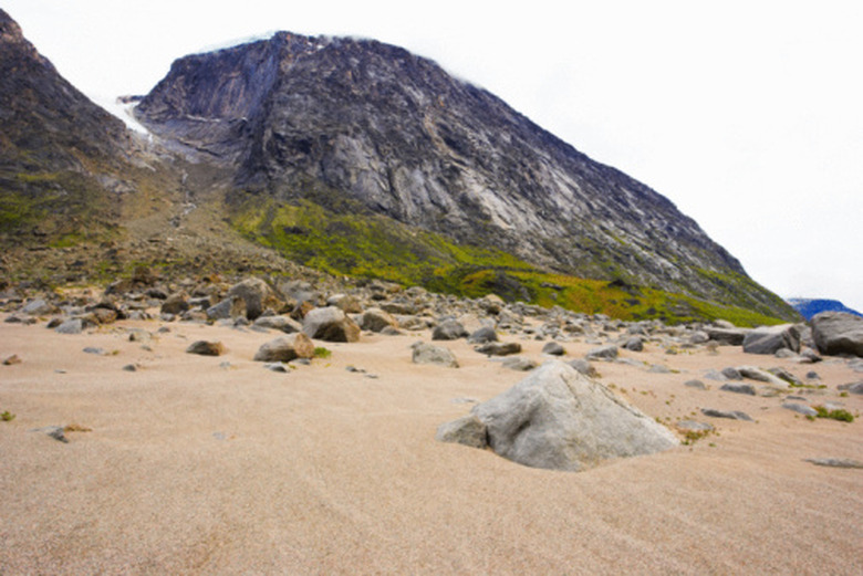
Glacier Deposits
When a glacier moves over a landscape, it picks up and carries with it rocks, soil and other forms of rubble. When the glacier retreats, the rubble contained within it is left behind in the new landscape.
The term "moraine" has several meanings. One meaning is a pile of rubble left in one area that is of a sort typically found in another landscape. These piles were carried for long distances by the movement of glaciers, then deposited when the ice melted. Drumlins are tear-shaped depositional landforms created by the compression of such rubble.
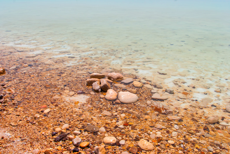
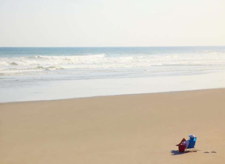
Coastal Deposits
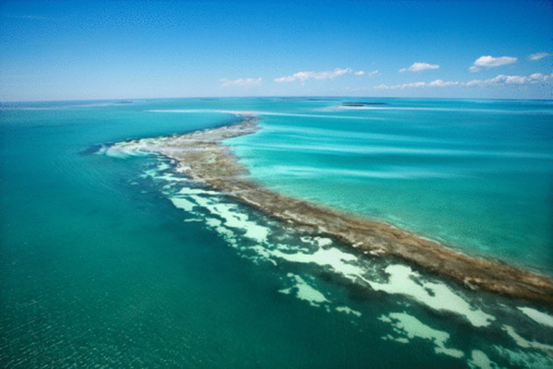
Coastal Deposits
Waves transport materials such as sand, rocks, shells and dirt and drop them to form both underwater and above-surface landforms.
Beaches are considered depositional landforms, as they are made up largely of sediment deposited there by waves. These types of coastlines are an example of depositional landforms that change rapidly as existing sediment is eroded and new sediment deposited.
Waves can also deposit sediment in areas offshore, where they build up to be sandbars and sand dunes. This buildup usually occurs when waves crash in shallow waters and draw some of the sediment from the bottom back out toward the ocean.
Rivers
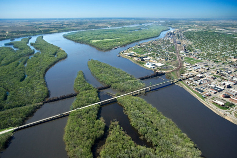
Rivers
Rivers can also carry sediment downstream to deposit it when the water enters into a larger body of water.
The formation of the Mississippi River delta was a complicated process that was guided by the deposition of the sediment. At one time, the coastline of the southern United States looked much different than it does today. As waters rose and fell, channels were formed through which the river water flowed. As channels became obstructed or as soil from upriver was piled up, the mouth of the river shifted to accommodate these changes, forming the delta as it is now.
Time Frame
Time Frame
Some types of depositional landforms are created over thousands of years, while others can change drastically in a matter of months. Those created by the movements of glaciers have been relatively unchanged since the melting of the glaciers that dropped the sediments.
Other depositional landforms change much more frequently. The coastlines of beaches change with the tides, and may erode or advance into the ocean as waves deposit more silt or carry it away.
Cite This Article
MLA
Durkee, Debra. "Types Of Depositional Landforms" sciencing.com, https://www.sciencing.com/types-depositional-landforms-8242586/. 20 April 2018.
APA
Durkee, Debra. (2018, April 20). Types Of Depositional Landforms. sciencing.com. Retrieved from https://www.sciencing.com/types-depositional-landforms-8242586/
Chicago
Durkee, Debra. Types Of Depositional Landforms last modified August 30, 2022. https://www.sciencing.com/types-depositional-landforms-8242586/