What Is The Thickness Of The Earth's Surface?
When a satellite or a rocket that is orbiting the earth photographs the planet, the picture is of the earth's surface, or crust. This is where we live and move, land and water. The highest points are the mountains and the lowest points are the ocean basins.
Size
Size
If you could measure the distance of the earth starting at the North Pole and ending at the South Pole, you would need a tape measure that is 7,899.83 miles long. If you measured the diameter of the earth by poking a probe in at one side of the equator and exiting on the exact opposite side of the earth still on the equator, the probe would have to be 7926.41 miles long. If, instead, you decided to measure the circumference of the earth at the equator, you would discover it to be 24901.55 miles around.
Features
Features
The surface of the earth can be divided into the continental crust and the oceanic crust. The continental crust is made mostly of granite while the oceanic crust is made of basalt. The average thickness of the continental crust is 25 miles and the average thickness of the oceanic crust is 5 miles. Three types of rock, igneous, sedimentary, and metamorphic, make up the surface of the earth.
Geography
Geography
At its highest point, Mount Everest, the earth's surface extends to a height of 29, 028 feet. At its lowest point, the Mariana Trench in the Pacific Ocean, the surface dips to a depth of 36,198 feet.
Considerations
Considerations
The earth's surface is like its skin. Beneath this surface, or crust, there are several more layers of the planet. The hottest area, the earth's solid inner core is 10 percent sulphur. The rest is iron and nickel. The inner core is 800 miles thick. The outer core contains molten, very hot liquid, iron, nickel and other metals. It is an additional 1400 miles thick. Between the outer core and the crust, there is an area 1400 miles thick called the mantle.
Expert Insight
Expert Insight
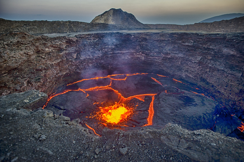
The boundary between the mantle and the earth's crust or surface is called the Mohorovicic Discontinuity. People call it the Moho for short. When the earth experiences volcanic or tectonic activity, rocks from the mantle can spew through openings in rifts and volcanoes to change the face of the earth's surface. Geologists use satellite imagery, echo soundings, and seismology to measure and observe the surface of the earth.
Cite This Article
MLA
Barker, Lesley. "What Is The Thickness Of The Earth's Surface?" sciencing.com, https://www.sciencing.com/what-thickness-earths-surface-4600033/. 14 November 2008.
APA
Barker, Lesley. (2008, November 14). What Is The Thickness Of The Earth's Surface?. sciencing.com. Retrieved from https://www.sciencing.com/what-thickness-earths-surface-4600033/
Chicago
Barker, Lesley. What Is The Thickness Of The Earth's Surface? last modified March 24, 2022. https://www.sciencing.com/what-thickness-earths-surface-4600033/
