Wind Speed Vs. Air Pressure
Wind speed and air pressure, also called barometric pressure, are closely related. Wind is created by air flowing from areas of higher pressure to areas of lower pressure. When the air pressure differs greatly over a small distance, high winds will result.
Physics
Physics
The change in pressure divided by the change in distance is known as the pressure gradient. The pressure gradient force is one of the basic forces driving weather in the atmosphere.
Hurricanes
Hurricanes
Wind speed and barometric pressure are the main indicators of hurricane strength. The high winds in a hurricane are due to the extreme low pressure at the center of the storm. When the pressure in a hurricane drops, higher wind speeds will soon follow.
Tornados
Tornados
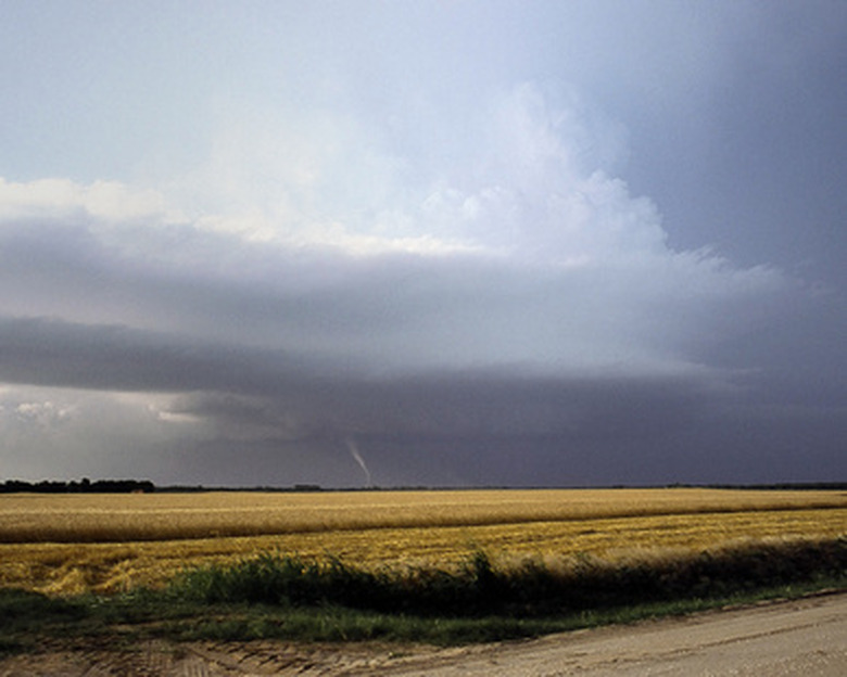
The violent winds of a tornado correspond with a highly localized pressure minimum.
Coriolis Effect
Coriolis Effect
As air flows from high pressure toward low pressure over a long distance, the Earth will rotate beneath it, causing the air to be deflected. This is known as the Coriolis effect and is why storms blow clockwise in the northern hemisphere and counterclockwise in the southern hemisphere.
Finding Gradients on a Map
Finding Gradients on a Map
Weather forecasters will often show a map of barometric pressure to explain the current and forecast weather. Anywhere with many lines packed together indicates a large pressure gradient and therefore strong winds. Areas where lines are spaced far apart will have very light winds.
Cite This Article
MLA
Brown, Zachary G.. "Wind Speed Vs. Air Pressure" sciencing.com, https://www.sciencing.com/wind-speed-vs-air-pressure-5950623/. 24 April 2017.
APA
Brown, Zachary G.. (2017, April 24). Wind Speed Vs. Air Pressure. sciencing.com. Retrieved from https://www.sciencing.com/wind-speed-vs-air-pressure-5950623/
Chicago
Brown, Zachary G.. Wind Speed Vs. Air Pressure last modified March 24, 2022. https://www.sciencing.com/wind-speed-vs-air-pressure-5950623/

